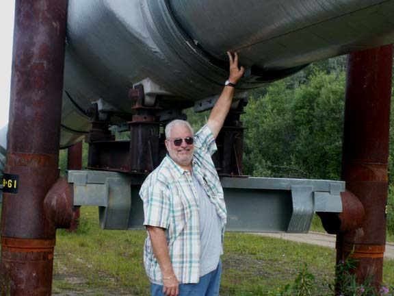
 Only
eight miles northeast of Fairbanks, visitors can get a close-up view of the
pipeline at a visitors center. If you are tall enough you can touch it. Mary Lou
could not stay suspended in air long enough for a photograph.
Only
eight miles northeast of Fairbanks, visitors can get a close-up view of the
pipeline at a visitors center. If you are tall enough you can touch it. Mary Lou
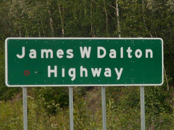
could not stay suspended in air long enough for a photograph.Dalton Highway, a day trip - Alaska 2005
Dalton Highway * Trans-Alaska
Pipeline * Artic Circle
Updated: 11/30/08
Only
eight miles northeast of Fairbanks, visitors can get a close-up view of the
pipeline at a visitors center. If you are tall enough you can touch it. Mary Lou
could not stay suspended in air long enough for a photograph.
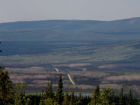
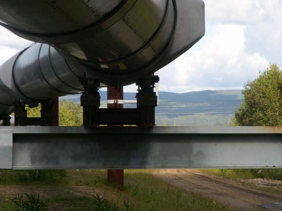 This is a photograph north from the visitors center.
 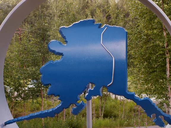 This was an attractive metal map of the route the pipeline follows.
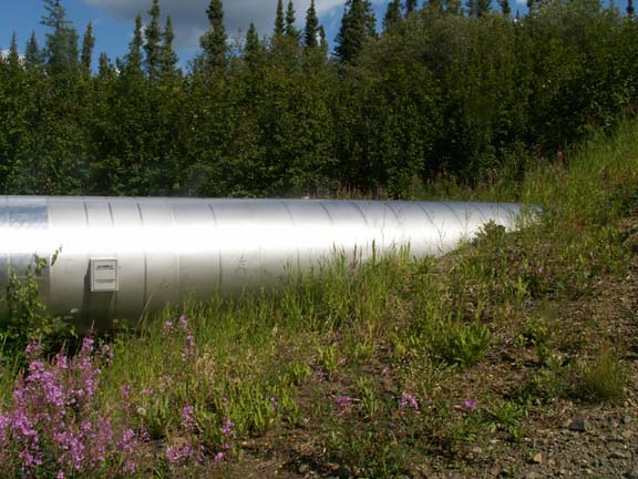
Radiators insure the oil stays cool and does not melt the
permafrost. 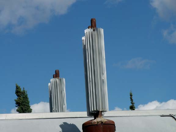
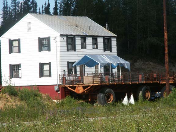
Across the road from the visitors center, someone used old fat tired trailers as decks around their house. Then we saw a photograph of the equipment in the college museum.

We stopped at this trading post for a snack. He was going to be open until
midnight because he expected a bus in about that time. 
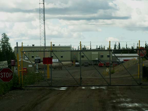
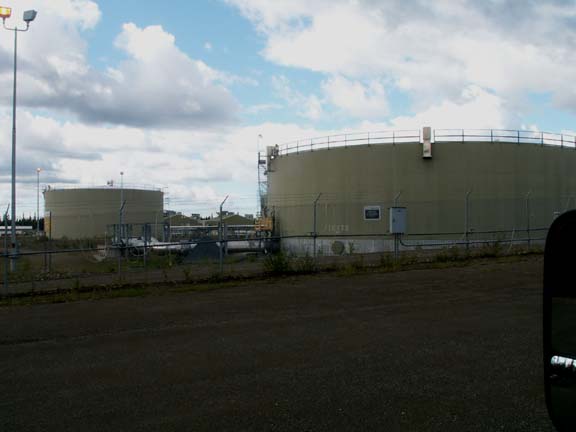
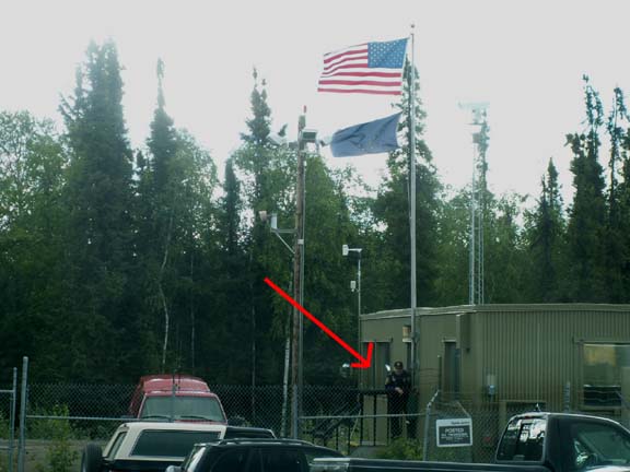
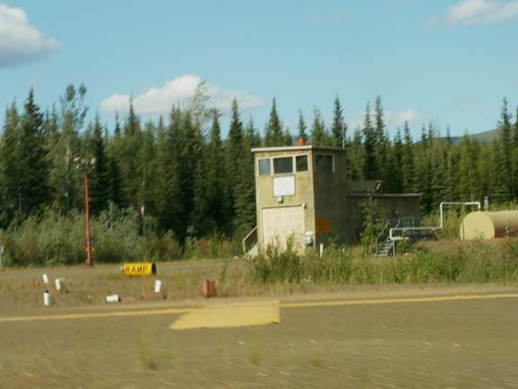
Following a sign, we found Pump Station No. 7 a quarter mile from the highway. As we were making photographs, the guard came out to observe us.
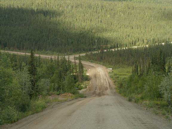
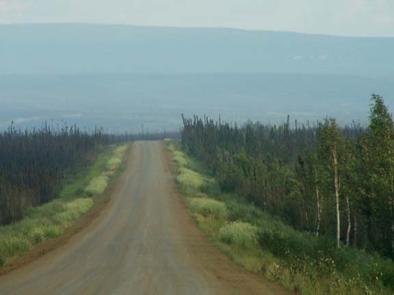
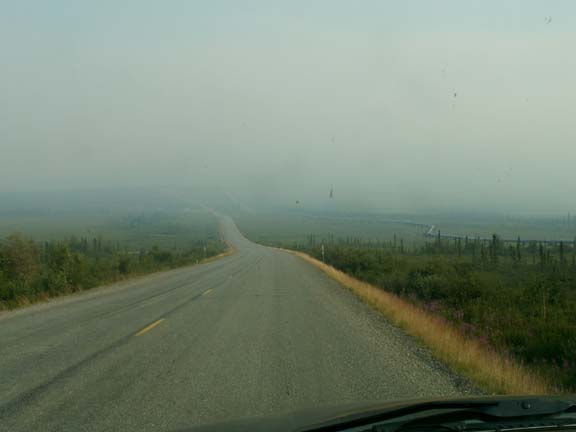
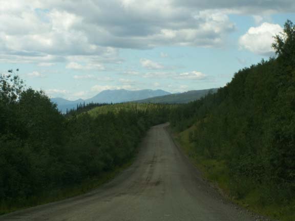
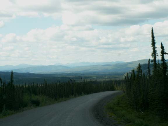
 Our trip to the Artic Circle was a long
day trip. Made longer to
some extent by the number of photo opportunities. But, more so by the road
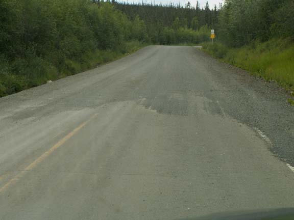
conditions and distance (408 miles round trip). In addition to signs that there
are no 'services' for the next 118 miles, several signs warn you that this is no
normal road.
Our trip to the Artic Circle was a long
day trip. Made longer to
some extent by the number of photo opportunities. But, more so by the road
conditions and distance (408 miles round trip). In addition to signs that there
are no 'services' for the next 118 miles, several signs warn you that this is no
normal road.
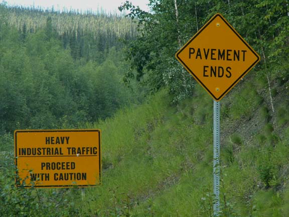
Other signs greeted you as well. 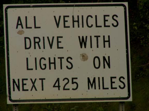
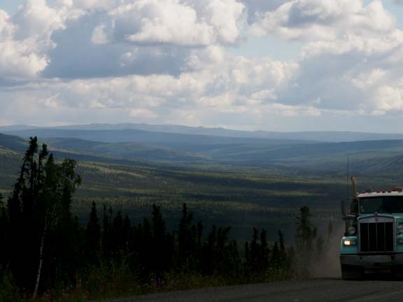
 If you saw dust in front of you, you started looking for a
spot to pull off the road or, if you couldn't do that, a wide spot to move over to
the edge of the road and stop. You did the same if you saw a cloud of dust
approaching you from the rear. As you were in no hurry, just wait, avoid the
flying stones and let the dust settle a little. Don't expect to find a better
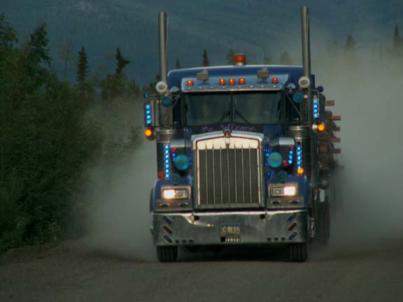
spot, use the first one you find and wait for the approaching traffic. The truckers talk to each other
on CB Radios so you hear yourself being referred to as a 'four wheeler'. This
last truck with its blue lights was the 'prettiest' of the bunch that we
saw.
If you saw dust in front of you, you started looking for a
spot to pull off the road or, if you couldn't do that, a wide spot to move over to
the edge of the road and stop. You did the same if you saw a cloud of dust
approaching you from the rear. As you were in no hurry, just wait, avoid the
flying stones and let the dust settle a little. Don't expect to find a better
spot, use the first one you find and wait for the approaching traffic. The truckers talk to each other
on CB Radios so you hear yourself being referred to as a 'four wheeler'. This
last truck with its blue lights was the 'prettiest' of the bunch that we
saw.
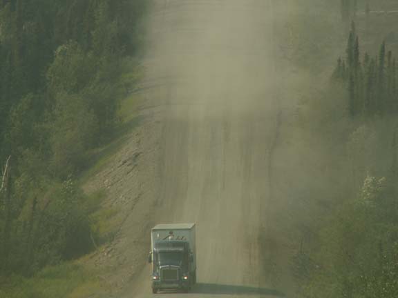
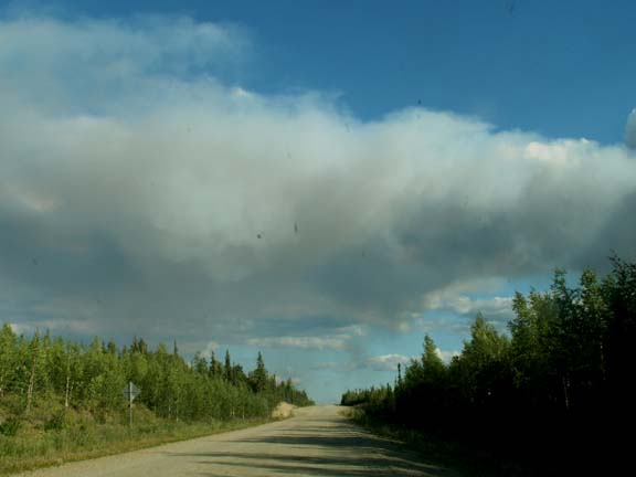
For most of the trip, there was dust or smoke or both in the air. It all added to ambiance of the trip.
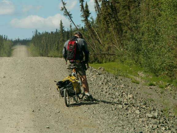 Some vehicles had only two wheels. We saw four
bicyclist on the road. This one is towing a trailer.
Some vehicles had only two wheels. We saw four
bicyclist on the road. This one is towing a trailer.
One bicyclist we talked to had spend four years on a round-the-world trip. This was the fifth year of his adventure and he was heading for the northern-most place he could peddle - Prudhoe Bay.
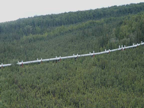
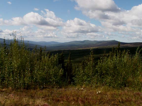
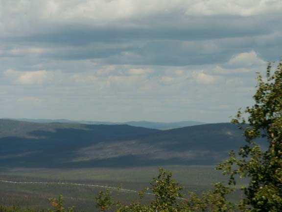
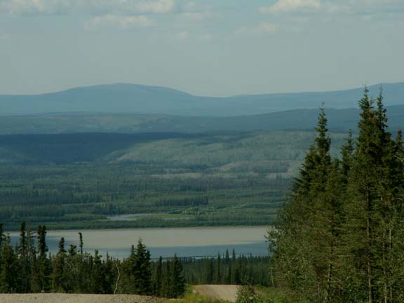
All was not bad. We saw a lot of the pipeline and beautiful country.
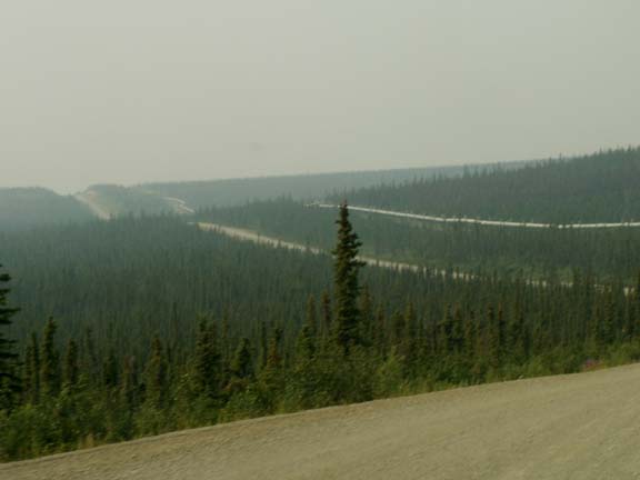
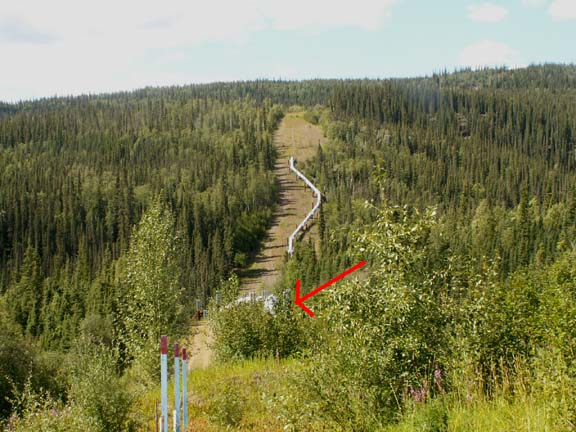
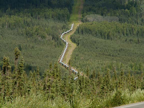 You will note in the photographs that the
pipeline was not constructed in a straight line - that was to avoid expansion
and contraction issues. The pipeline appears to be straight from a distance, but
from an elevation, it zig-zags. It is on top the ground where the terrain is ever
changing and 8 to 40 feet below ground in firm rocky areas.
You will note in the photographs that the
pipeline was not constructed in a straight line - that was to avoid expansion
and contraction issues. The pipeline appears to be straight from a distance, but
from an elevation, it zig-zags. It is on top the ground where the terrain is ever
changing and 8 to 40 feet below ground in firm rocky areas.
In the event of and earthquake, the pipeline is designed for ground displacement of up to 20 feet laterally and 5 feet vertically without damage.
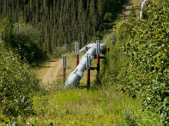
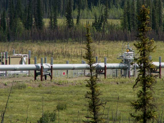 This
section looks a little different. It is one of eighty remote operated valve
sites. If a
problem is detected, the flow of oil can be stopped in four minutes.
This
section looks a little different. It is one of eighty remote operated valve
sites. If a
problem is detected, the flow of oil can be stopped in four minutes.

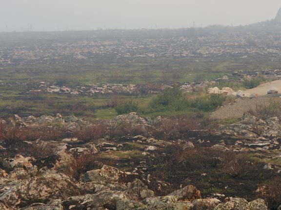
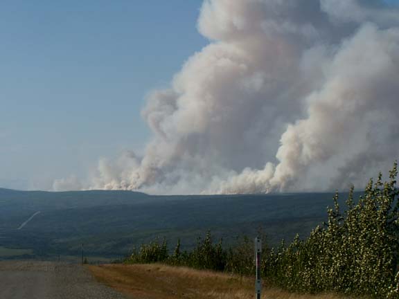
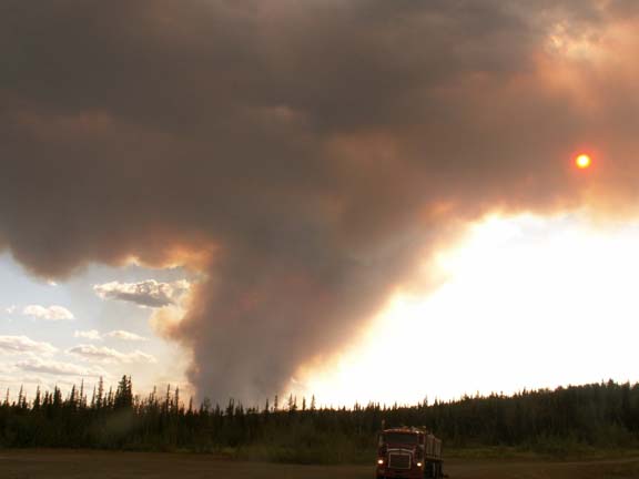
In the distance we could see another forest fire. The was
only the first of the day. 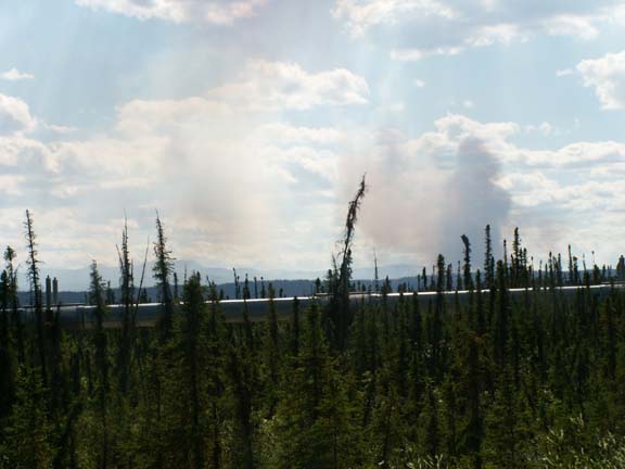
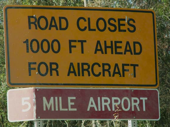
Part way down the Dalton Highway signs warned us that our road may be an airplane runway. It was a runway for the Alyeska Pipeline Service Company.
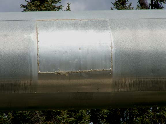 The
pipe line is 800 miles long. But, we found where they patched it.
The
pipe line is 800 miles long. But, we found where they patched it.
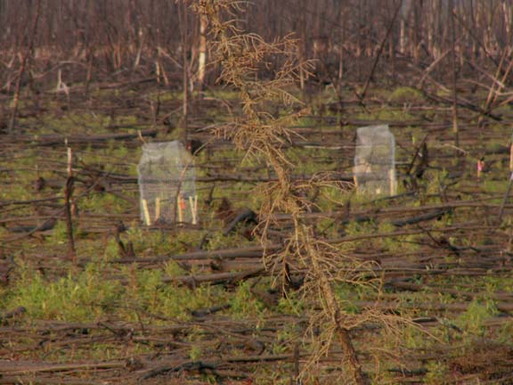
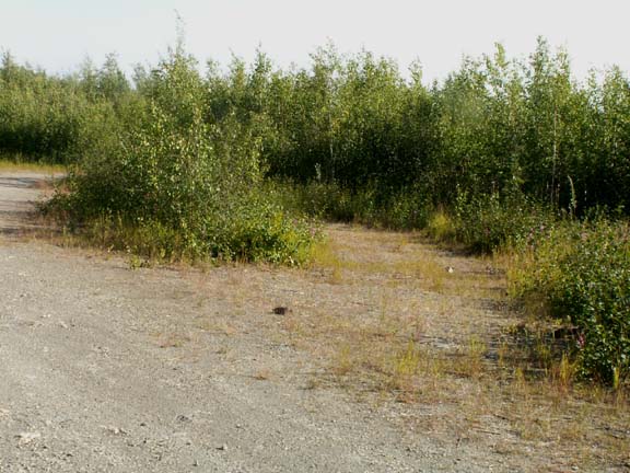
The terrain was very different along the Dalton Highway. A lot had been burned in prior years. You would drive miles through burned areas. We saw one place where someone found special new growth to protect. Only seven staked and screened plants

 The
smoke from the forest fire north of the Artic Circle was drifting in
places and hanging close to the ground in others.
The
smoke from the forest fire north of the Artic Circle was drifting in
places and hanging close to the ground in others.

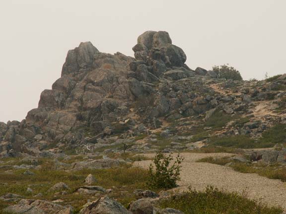
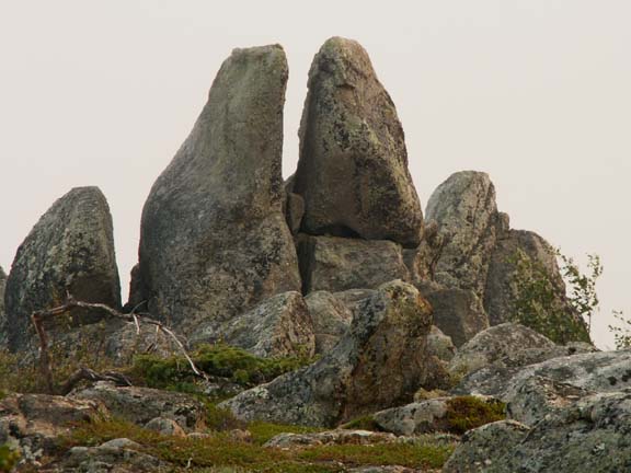
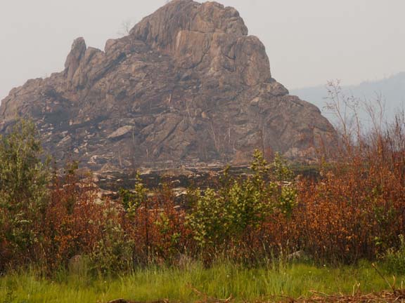
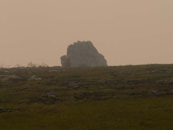
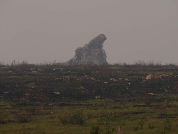 Finger
Mountain was a very unusual area. The rocks are push up by the freezing and
thawing action of the earth. The smoke was heavy when we were there but they
looked impressive.
Finger
Mountain was a very unusual area. The rocks are push up by the freezing and
thawing action of the earth. The smoke was heavy when we were there but they
looked impressive.
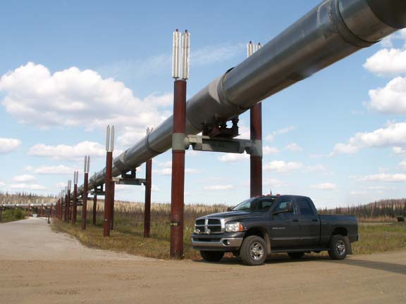
 At the visitors center at
Yukon River, we talked to the BLM volunteer
who had manned that building for fourteen years. She handles the visitors and
her husband makes walking sticks. It was a good location to photograph the truck
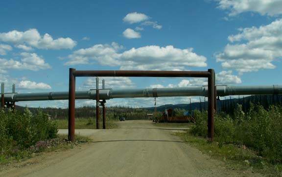
under the pipeline. At most locations where access is needed for
maintenance work, the pipeline is protected by red
gates and 'headache bars'. The 'headache bars' are those 'goal post' type things
that let nothing tall enough to damage the pipeline pass that point.
At the visitors center at
Yukon River, we talked to the BLM volunteer
who had manned that building for fourteen years. She handles the visitors and
her husband makes walking sticks. It was a good location to photograph the truck
under the pipeline. At most locations where access is needed for
maintenance work, the pipeline is protected by red
gates and 'headache bars'. The 'headache bars' are those 'goal post' type things
that let nothing tall enough to damage the pipeline pass that point.
Speaking of red gates . . . they keep vehicles out but you can walk around or sneak under them. We did it here to see where the pipeline went into and came out of the ground after passing under the road.
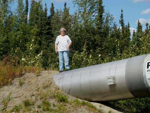 It was a good opportunity for Mary Lou to stand
on the pipeline - no one was around. And, the signs warned not to do it but she
was daring.
It was a good opportunity for Mary Lou to stand
on the pipeline - no one was around. And, the signs warned not to do it but she
was daring.
 The pipeline exiting the ground.
 Here is our view if the
pipeline entering the ground - not a good
photograph. We had to get closer so we went under the red gate on the
other side of the road. It didn't look as far as it was and it was all downhill. But, we
were in no hurry.
Here is our view if the
pipeline entering the ground - not a good
photograph. We had to get closer so we went under the red gate on the
other side of the road. It didn't look as far as it was and it was all downhill. But, we
were in no hurry.
 Not close enough ...
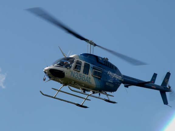
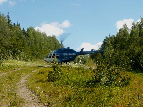
We were almost there when a helicopter flew overhead. Wow, another photo-op. It can real low so a good photograph was possible. Then it landed behind Mary Lou - it was Alyeska Pipeline Security. We had a polite discussion about the red gates, private property and bears. Fred asked if he could continue down the remaining short distance for his photograph. It was okay, then we had to leave. We think this is probably one of our more unique experiences during our visit to the pipeline.

Here is the photograph we wanted.
The pipeline entering the ground.
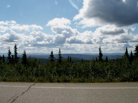
As we said, the ride had its beautiful views in spite of the dust and smoke.
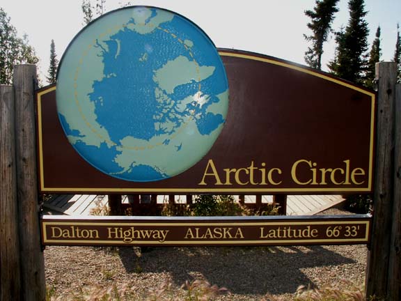 Our
arrival at the Artic Circle was much different than we expected. No visitor
center. Nothing but a sign and an outhouse. But ... we were there.
Our
arrival at the Artic Circle was much different than we expected. No visitor
center. Nothing but a sign and an outhouse. But ... we were there.
And the proof > 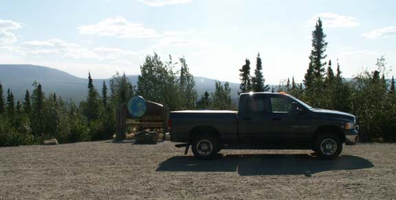
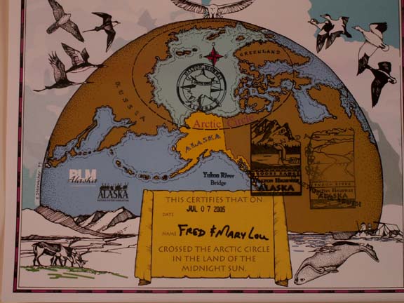 Fortunately,
the woman at the visitors center at the Yukon River gave us a certificate of our
accomplishment. Fred wondered why she gave it to us there. We found out when we
arrived. There was not a living sole to be found.
Fortunately,
the woman at the visitors center at the Yukon River gave us a certificate of our
accomplishment. Fred wondered why she gave it to us there. We found out when we
arrived. There was not a living sole to be found.
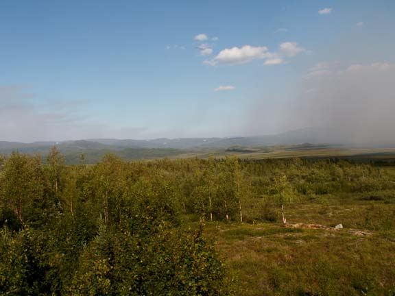
From above the Artic Circle we could clearly see the source of the smoke we had been experiencing. This forest fire was hampering travel further north.
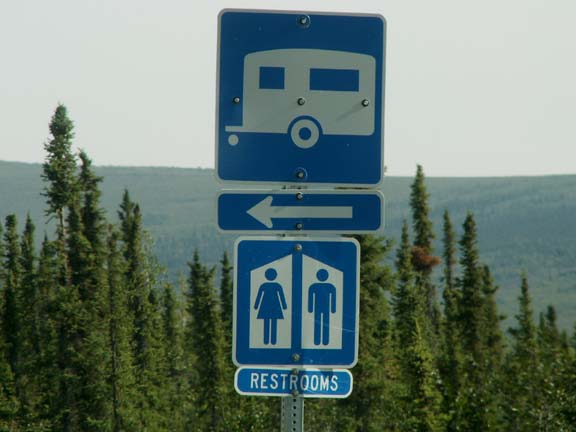 For
those of you planning to take your RV to the campground just above the Artic
Circle - don't.
For
those of you planning to take your RV to the campground just above the Artic
Circle - don't.
Back-in site . .
.
Pull-thru site . . .
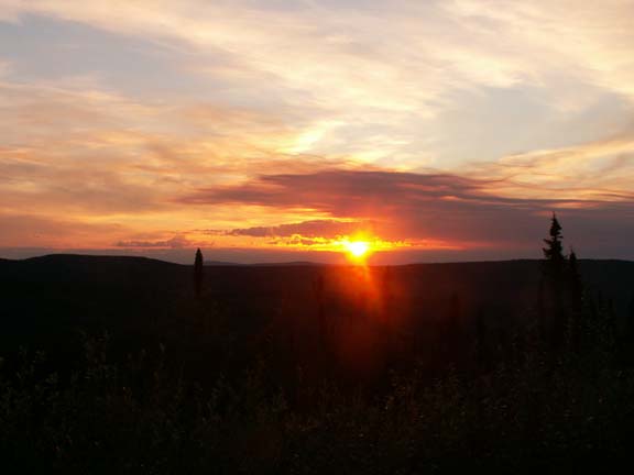
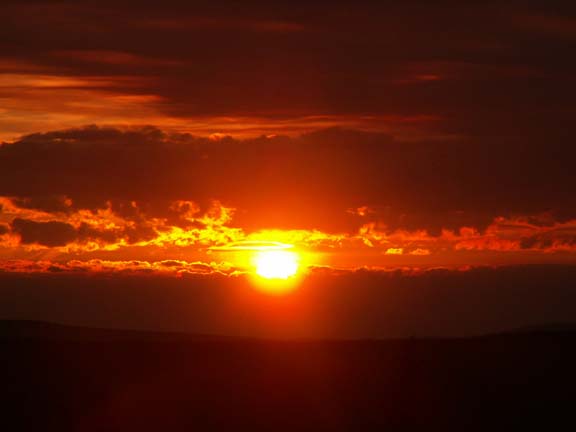
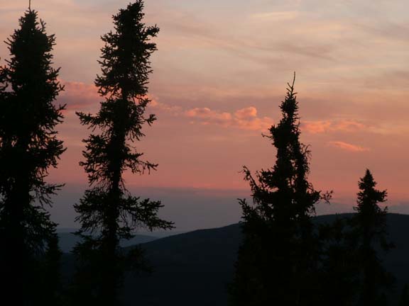
We had to travel back the same road. The following photographs are of the sun and the smoke from the first fire we saw.
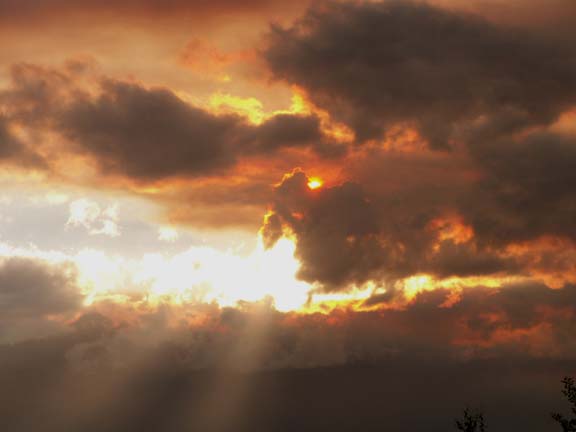
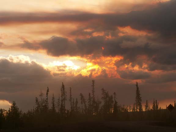
Later, we photographed the setting sun. We are not usually up late enough to appreciate the sun setting.
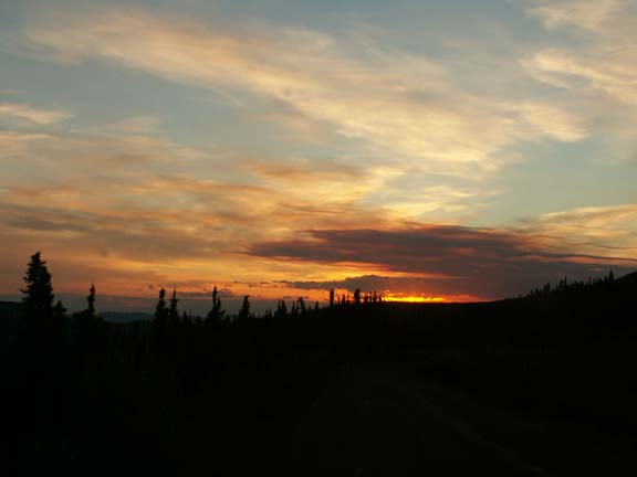
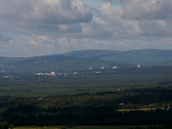
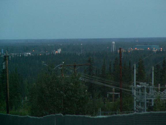
On the way back to Fairbanks, we compared the view at 10:30am Thursday and the view at 1:00am Friday. We have not figured out why they have their mercury vapor light come on at night in July.
It was a long day but we enjoyed it.
Go back to Alaska Photo Album .