Haines to Fort St. John - Alaska 2005
Updated: 11/30/08
We had been in Haines for a week and decided we could delay our departure not longer. Due to the view out our side windows and the atmosphere in town, it was one of our favorites. The last day we were there the wind was blowing hard, the whitecaps on the water were beautiful and the water hitting the rocks made a great sound. Then in the evening, some blue sky was visible . . . but . . . we were still leaving in the morning.
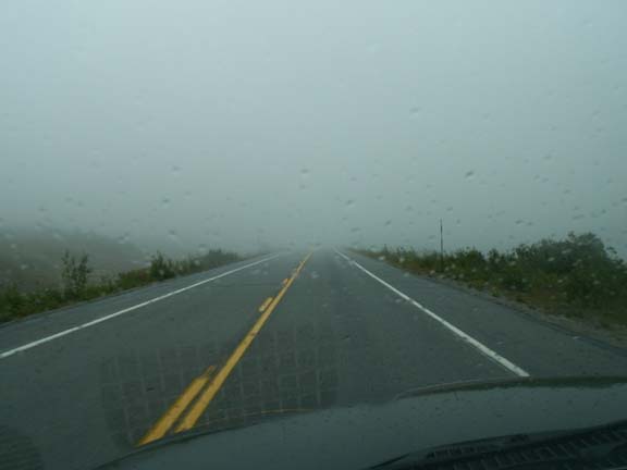
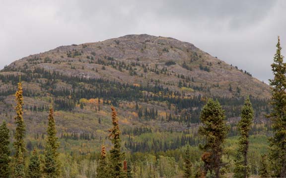
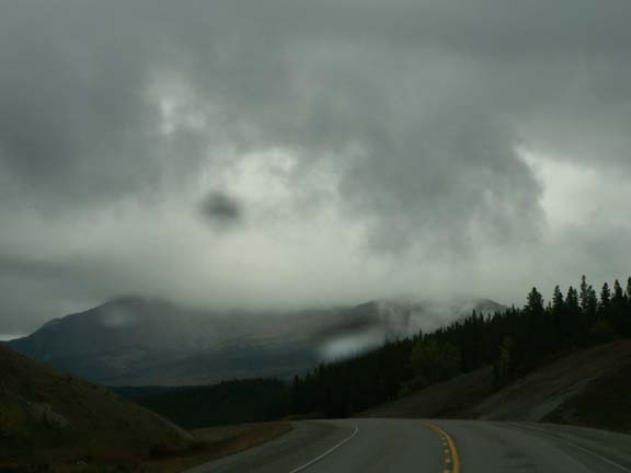
It was a cloudy and rainy drive to Haines Junction. We were fortunate to have had such a nice day on our trip into Haines. In the summit area, the road disappeared into a cloud for a short time.
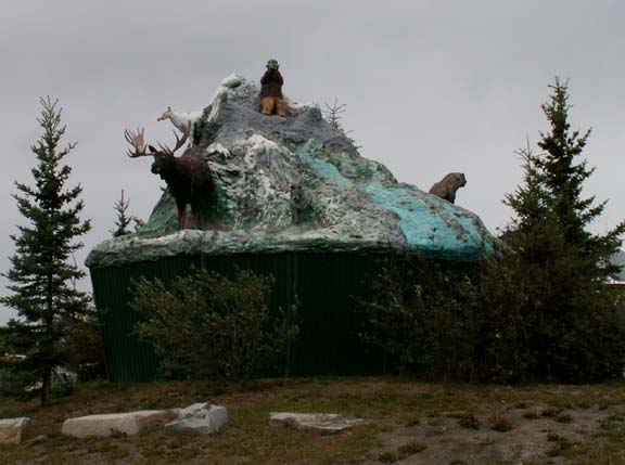
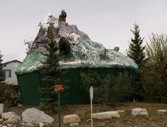
The most photograph thing in Haines Junction is "The Muffin". This 24 foot village monument depicts area wildlife.
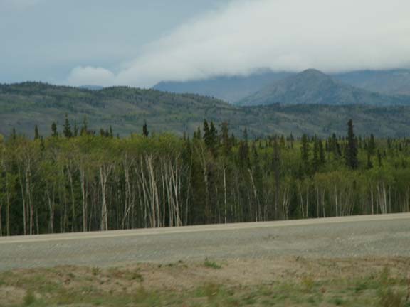
 The
other side of Haines Junction the road construction began. We had five miles of
wet but fairly smooth new gravel and then hit a part being work on as we were
led through. A little farther along another 'flag person' stopped us. She tried to
contact the other flag person by radio - no answer. She said, "they were
just starting the night shift and not organized yet. Go ahead, just drive
slow". This is what was in front of us.
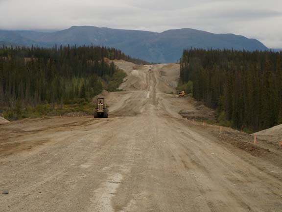
The
other side of Haines Junction the road construction began. We had five miles of
wet but fairly smooth new gravel and then hit a part being work on as we were
led through. A little farther along another 'flag person' stopped us. She tried to
contact the other flag person by radio - no answer. She said, "they were
just starting the night shift and not organized yet. Go ahead, just drive
slow". This is what was in front of us.
 After
enduring the road construction, we drove for miles along side the new road. In
the Yukon (and Alaska) the road is a flat top on a row of gravel.
After
enduring the road construction, we drove for miles along side the new road. In
the Yukon (and Alaska) the road is a flat top on a row of gravel.
Fred remarked - don't you wonder where they get all the gravel.
We were soon to find out.
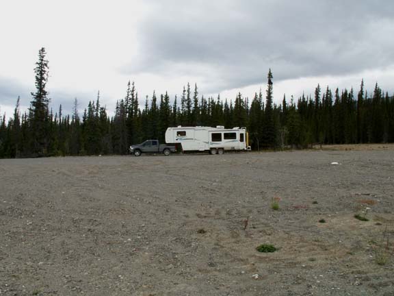
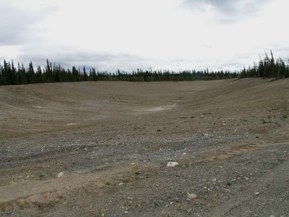 Looking
for a place for the night, we passed up several undesirable locations -gravel
operations and old road beds-for one off the road behind trees. We had seen many
locations along the Alaska Highway and other roads where gravel was stored. The
site we found was not the typical gravel storage area - no gravel piles, no
equipment. Just a road to a flat spot behind trees. When we got in, there was a
huge pit in the ground with gradually slopping sides.
Looking
for a place for the night, we passed up several undesirable locations -gravel
operations and old road beds-for one off the road behind trees. We had seen many
locations along the Alaska Highway and other roads where gravel was stored. The
site we found was not the typical gravel storage area - no gravel piles, no
equipment. Just a road to a flat spot behind trees. When we got in, there was a
huge pit in the ground with gradually slopping sides.
The sides had vegetation growing on them leading us to believe it is abandoned and waiting for nature to move back in. The way it is designed it will not hinder animal movement. Distances between town is so great in this wilderness, they get their gravel 'locally', close to the work site. People driving the highway will not see the evidence of the removal after a reasonably short period of time.
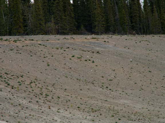
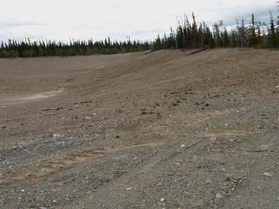
There appeared to be plenty of room for equipment and removal of more gravel. The large remaining flat spot indicates the economies of hauling may have been a factor. So, they stopped removing gravel from this area.
Dirty, dirty, dirty . . .
Along inter-state highways, the manmade rectangular lakes are the result of road crews removing dirt to build access to over-passes. Here, it resulted in a dry lake. Another one of the things we stumbled upon.
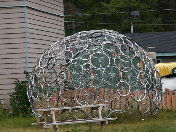 Speaking
of things we stumble upon, the next day on our drive back from the fish ladder
in Whitehorse, we found this dome someone had made out of old bicycle wheels.
Speaking
of things we stumble upon, the next day on our drive back from the fish ladder
in Whitehorse, we found this dome someone had made out of old bicycle wheels.
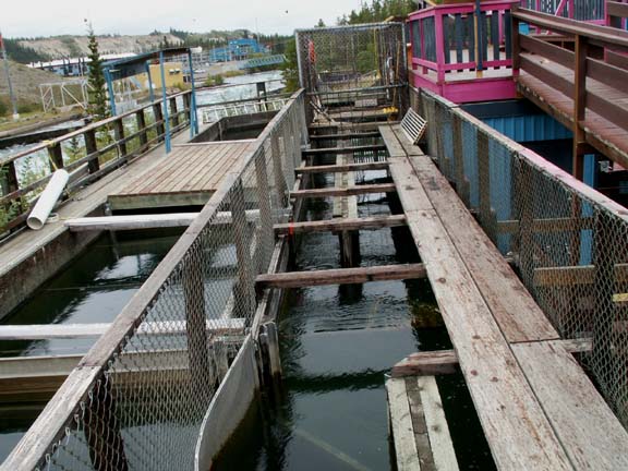
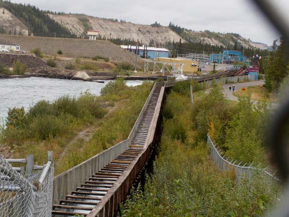
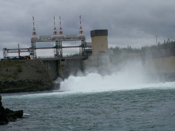 The
Whitehorse Fishway (fish ladder) built in 1959 is owned by Yukon Energy. It was
required when they built this hydroelectric dam.
The
Whitehorse Fishway (fish ladder) built in 1959 is owned by Yukon Energy. It was
required when they built this hydroelectric dam.
A donation of $2per person was suggested. We spent a little over a half hour in the area. We may have stayed longer if we could have seen fish. The four viewing monitors were clear.
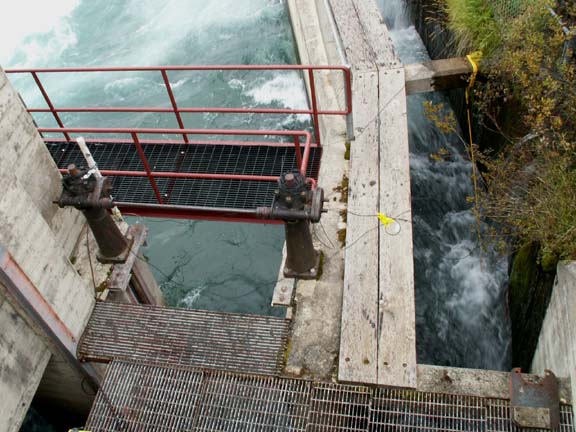
 The
chinook salmon must first get over the falls in front of the dam. That is no
easy task. There is a lot of fast flowing water.
The
chinook salmon must first get over the falls in front of the dam. That is no
easy task. There is a lot of fast flowing water.
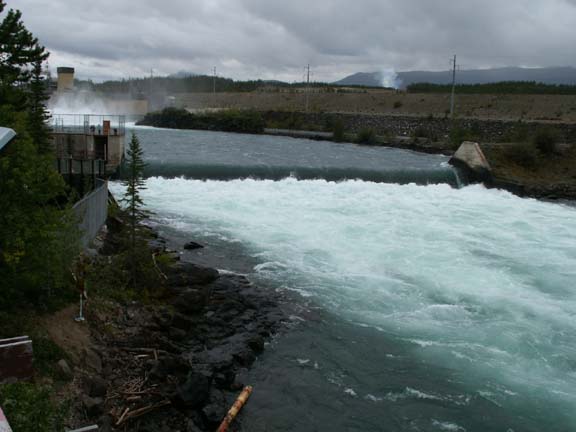
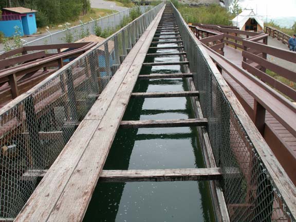
This is the longest wooded fished ladder in the world. Over its 1,182 foot length, it rises 60 feet from the Yukon River to Schwatka Lake. After the salmon jump the falls, they swim to the left side of the dam, make a u-turn and start traversing the 1,182 foot fish ladder. Halfway along, they are held in a holding section to be inspected and counted through glass panels by the fish biologist before being permitted to proceed.
U-Turn
...
Almost at the lake ...
The next stop was at the Transportation Museum. The admission was $6 per adult ($5, seniors). We did not watch the several videos in their entirety and spent a little over two hours looking at the exhibits.
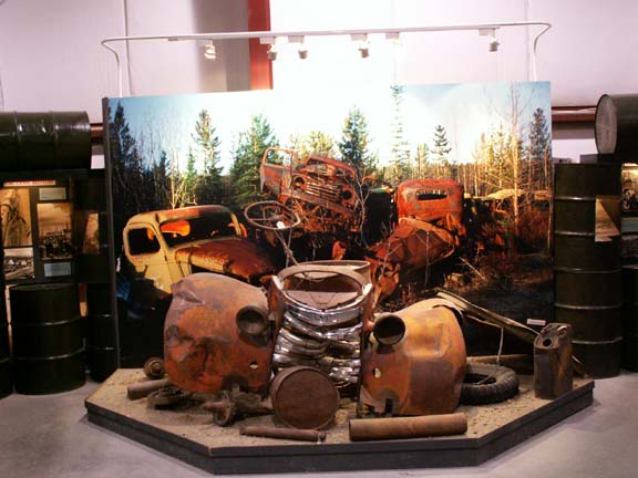 They
had a neat exhibit showing the conditions under which they find their pieces.
They
had a neat exhibit showing the conditions under which they find their pieces.
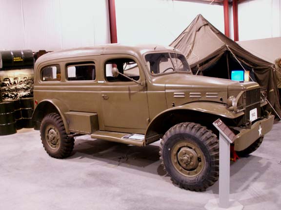
They had several military vehicles including
this 1942 Dodge Carryall.
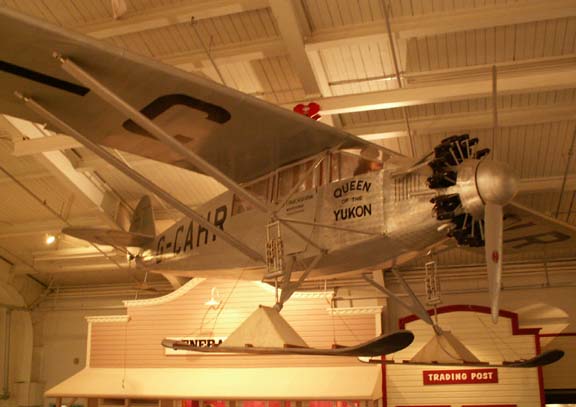
This float plane hung from the ceiling.
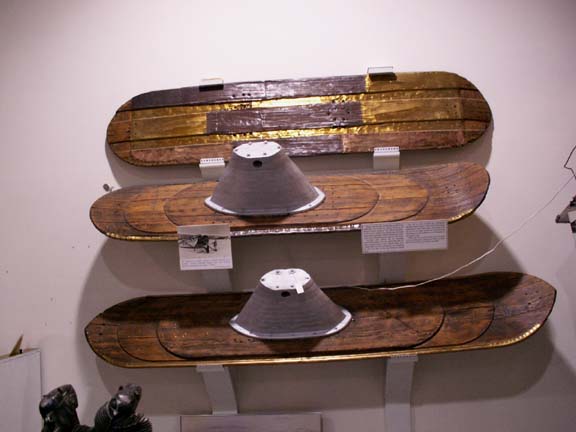 One
of the exhibits displayed the many kinds of runners that were used by the
pilots. These were made from pieces of wood fastened together with brass
screws.
One
of the exhibits displayed the many kinds of runners that were used by the
pilots. These were made from pieces of wood fastened together with brass
screws.
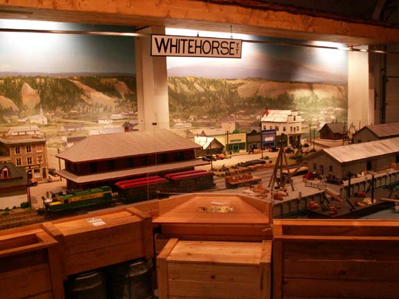 How
transportation influenced the development of the towns was explained and shown
in models.
How
transportation influenced the development of the towns was explained and shown
in models.
The important part the White Pass and Yukon Railroad played was evident.
Religious groups had missionaries in the towns and the area.
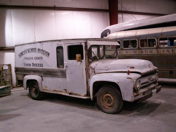
This Mission Sunday School truck was used in Whitehorse.
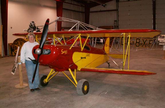 This
little Smith Mini-Plane "Suzy" was so small, we needed a size
comparison so Mary Lou stood next to it.
This
little Smith Mini-Plane "Suzy" was so small, we needed a size
comparison so Mary Lou stood next to it.
This home built plane first flew in 1967. It made thousands of flights to the farthest reaches of Northwest Canada.
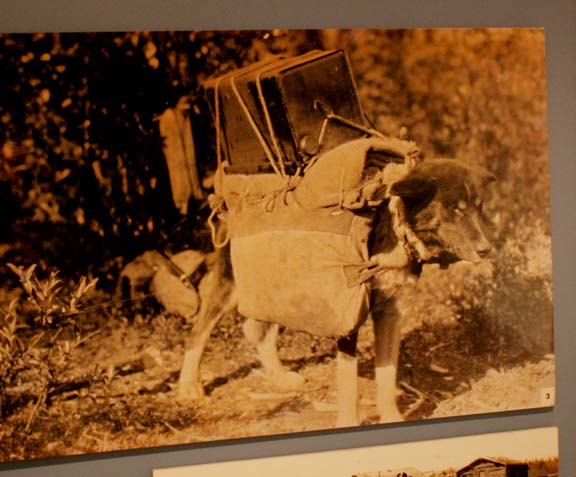
If you have a dog that sometimes feels you are too demanding,
show it this photograph of how hard dogs worked 'in the old days'.
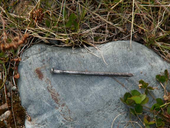 Before
leaving the Wal-Mart parking lot in Whitehorse, we became aware that we had
acquired a local artifact. We hired a local expert who specializes in these
objects to remove and analyzed it. From the markings, it could not be determined if it
originated in an area of Alaska or the Yukon Territory. Because it looks
original and because we have invested $29 for the analysis, we decided to add the artifact
to our box of souvenirs.
Before
leaving the Wal-Mart parking lot in Whitehorse, we became aware that we had
acquired a local artifact. We hired a local expert who specializes in these
objects to remove and analyzed it. From the markings, it could not be determined if it
originated in an area of Alaska or the Yukon Territory. Because it looks
original and because we have invested $29 for the analysis, we decided to add the artifact
to our box of souvenirs.
Note: The HHII's tire has recovered well from the surgery.
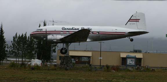 On
our way out of Whitehorse, we drove to the Whitehorse International Airport to
see the world's largest weathervane. The Douglas DC-3 was mounted on a rotating
pedestal in 1981. It acts as a weathervane, pointing its nose into the wind.
On
our way out of Whitehorse, we drove to the Whitehorse International Airport to
see the world's largest weathervane. The Douglas DC-3 was mounted on a rotating
pedestal in 1981. It acts as a weathervane, pointing its nose into the wind.
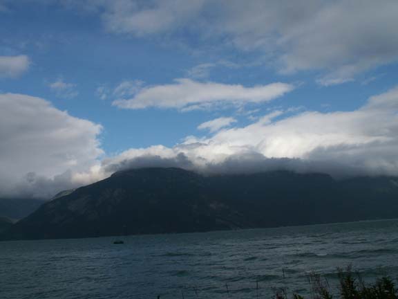
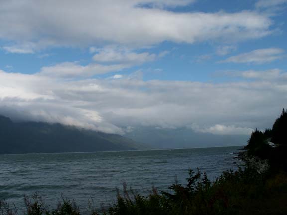
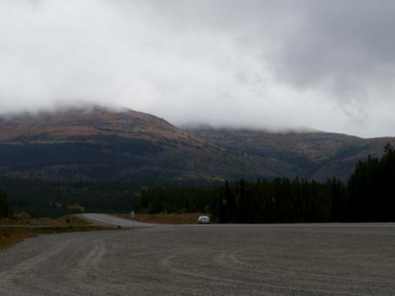
We left Whitehorse with mixed weather. All the way to our camping area next to the Swift River, we had a mix of ... rain and dry ... cloudy and partly cloudy ... even a little sunshine.
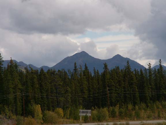
People had been telling us summer was over because it was raining a lot - the rainy season. As we traveled the Alaska Highway, the trees and bushes were telling us that fall had arrived. It cools off enough that we have to use the furnace every evening and early morning.
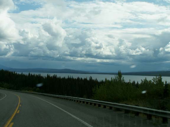
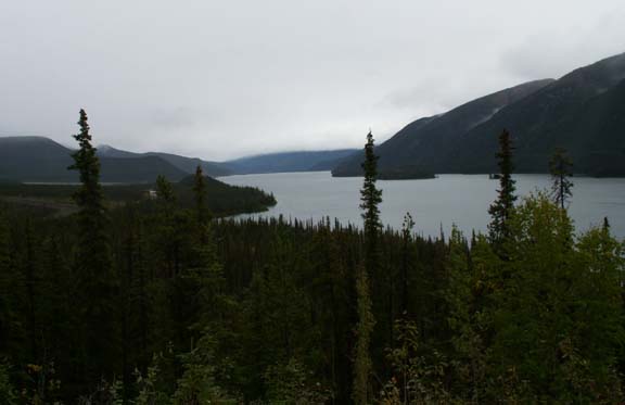
Teslin Lake is not as
pretty on a cloudy day.
 The
mood in the truck was a little low as we reminisced about our trip through this
area almost two months ago. We are realizing our Alaskan Adventure has ended.
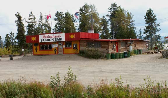
The mood reached a real low point when we approached our planned salmon bake
dinner and overnight camping location - Mukluk Annie's.
The
mood in the truck was a little low as we reminisced about our trip through this
area almost two months ago. We are realizing our Alaskan Adventure has ended.
The mood reached a real low point when we approached our planned salmon bake
dinner and overnight camping location - Mukluk Annie's.
It was closed.
We enjoyed our evening there on the way to Alaska and wanted to repeat it. It had closed a little over a week ago due to the low volume of people on the Alaska Highway.
Since we started driving the highways of the Yukon Territory
and Alaska,
Mary Lou has been looking around the many lakes for a moose drinking or feeding
in its natural habitat.
It finally happen.
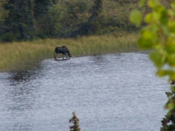
(Handheld 48X Zoom)
(The camera can't keep up with her 'eagle eyes'.)
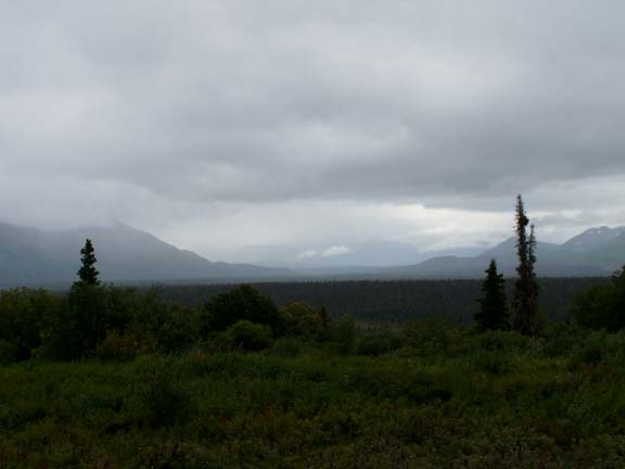
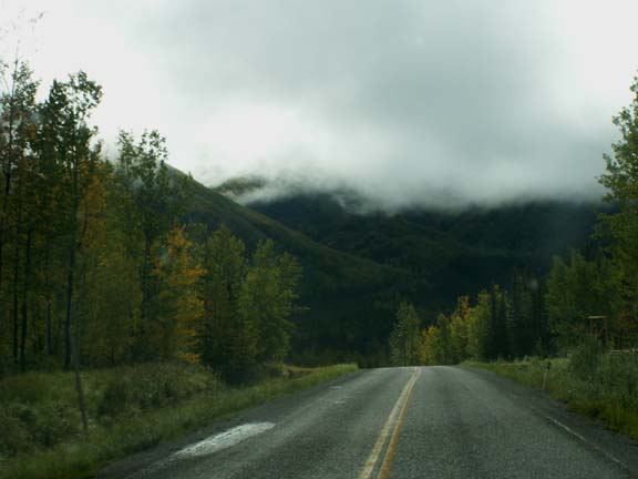
The next day started with clouds and rain. It rained in varying amounts almost all day. For a short distance we drove beside the 'old' Alaska Highway.
 Old road ...
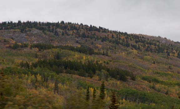
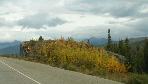
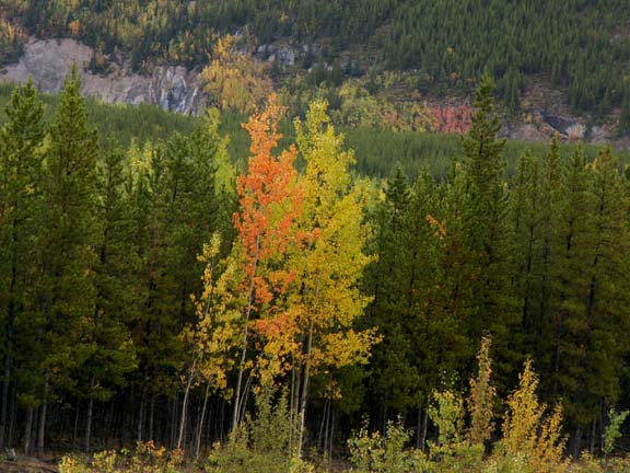
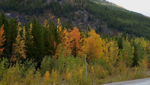
The trees and bushes had started to change colors for the first part of the day, then diminished. Later in the day, the colors returned.
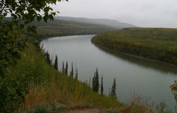
The Laird River and Mucho Lake did not look near as inviting as they did two months ago. Maybe it was because this time we were standing in a misty rain.
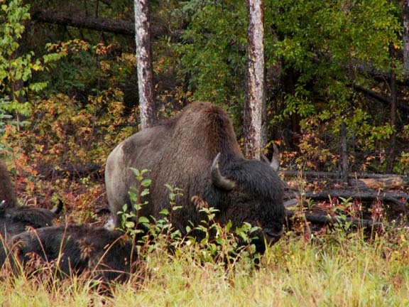
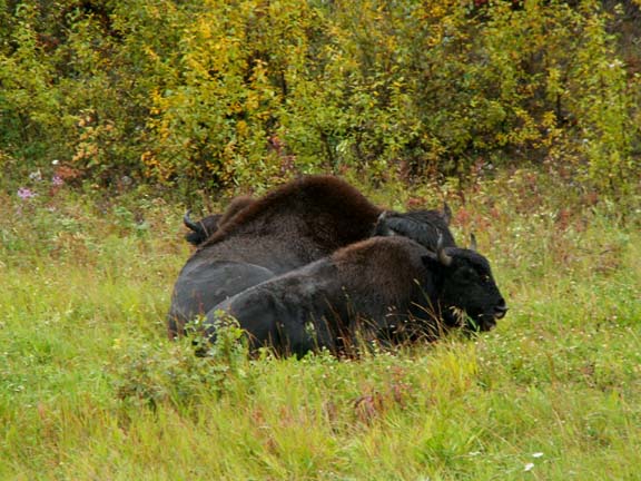
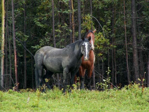
Along the road we saw two herds of buffalo (10-20) and a herd of about eight ponies.
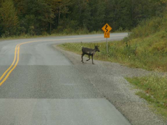
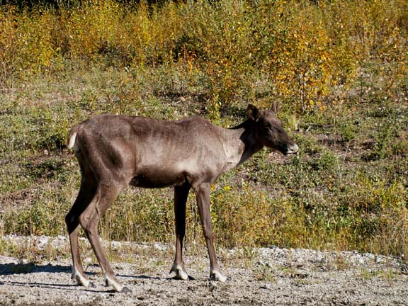
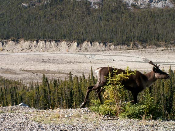
Because you can never trust youngsters to wait for traffic to clear, we stopped to let this young caribou cross in front of us.
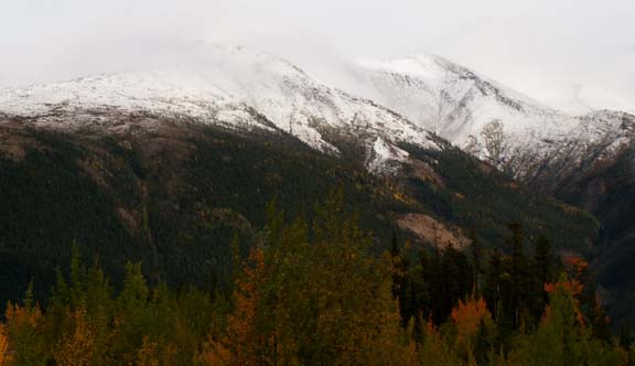
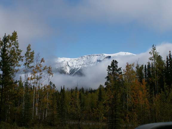
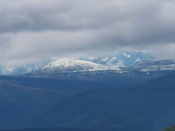
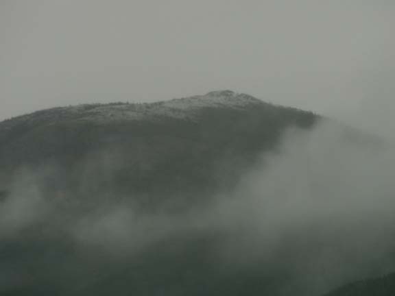 We
knew it was 'not nice' outside. However, we were surprised to see our first 'new'
snow the end of August. It was a little slice at the top of a mountain peaking
through a whole in the clouds.
We
knew it was 'not nice' outside. However, we were surprised to see our first 'new'
snow the end of August. It was a little slice at the top of a mountain peaking
through a whole in the clouds.
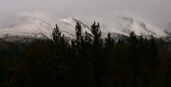
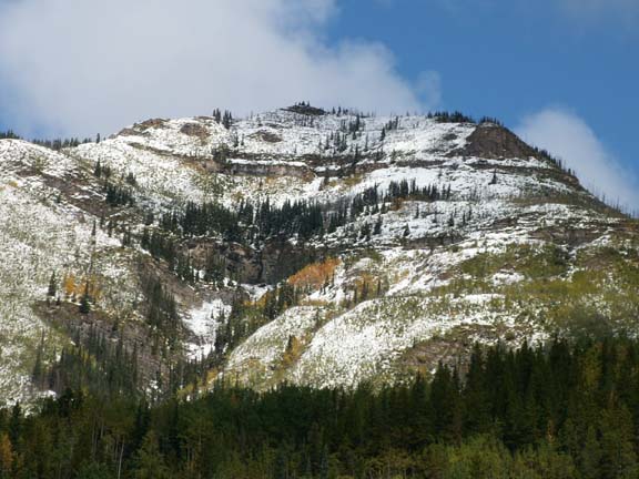
Not far down the road, the snow was heavier and beautiful.
(Blue sky would have made it spectacular for photographs.
But, it was better viewing than the old snow remaining in some
crevasses we saw and appreciated on our first time through this area.)
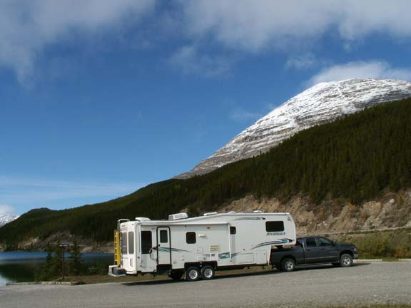
Across the road from the campground
we used going to Alaska.
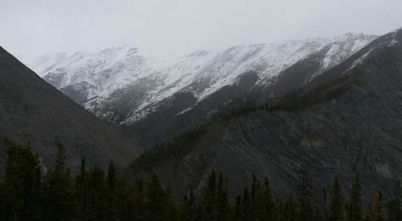
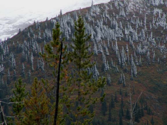
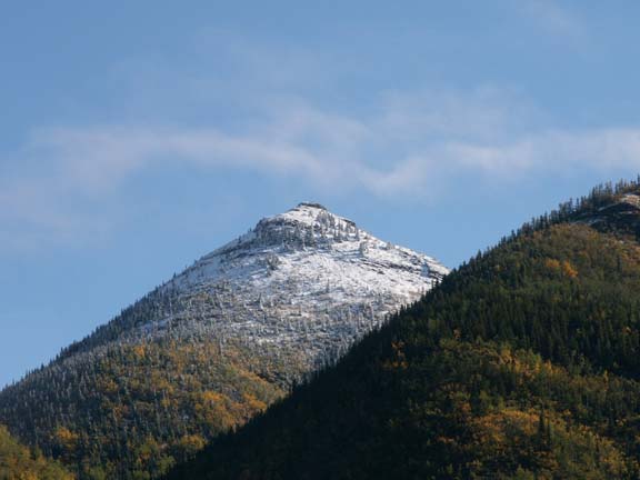
 It
was interesting to see the snow line on the mountains where some color remained
and some trees were still green.
It
was interesting to see the snow line on the mountains where some color remained
and some trees were still green.
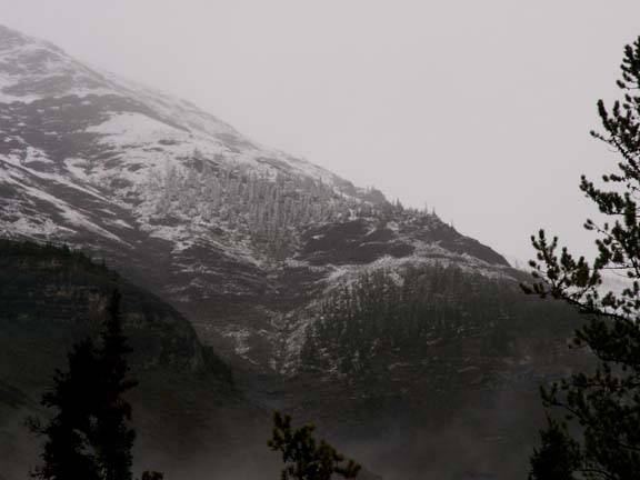
Pine trees in their white uniforms stood out against the dark mountains.
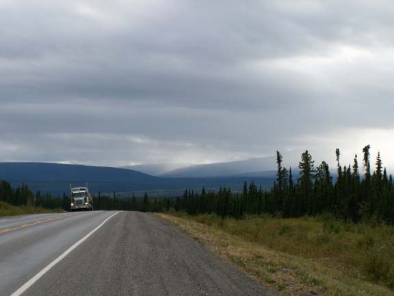
 The
next day started with thick fog clearing to another cloudy day.
The
next day started with thick fog clearing to another cloudy day.
Only a few miles down the road the sky was blue and the sun was shining. We decided it had been thirteen days since we saw this amount of blue sky. It took us over two hours to go the next 40 miles. It was a very pleasant time filled with spectacular sights.
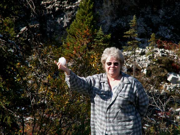
We had to stop for Mary Lou to play in the snow.
Yes, she threw it at the camera.
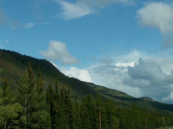
 Some
of the mountains were very colorful.
Some
of the mountains were very colorful.
It was another day of seeing a lot of wildlife . . . signs warn drivers of area where the animals are known to be a risk to traffic flow.
This little moose would not go far from the delicacy he found
alongside the road.
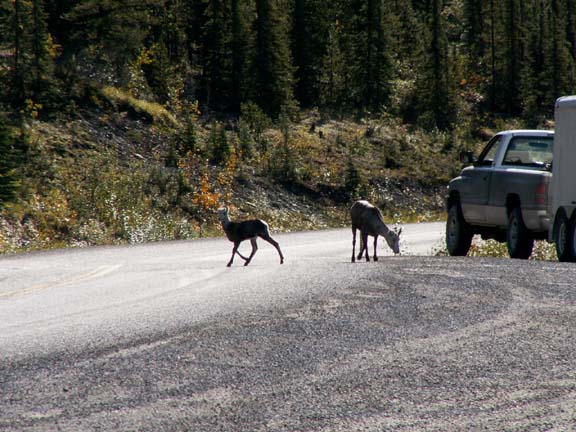
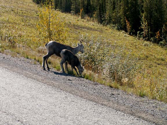
These sheep would not move much to let the truck
pull out of the parking area. The little one got jittery
more than her old pro mom.
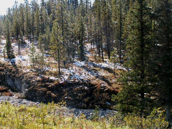
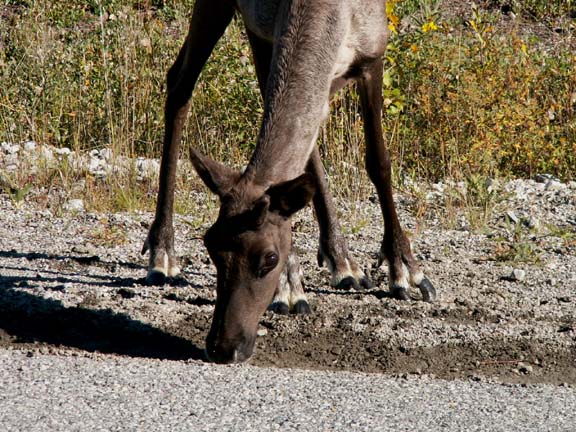
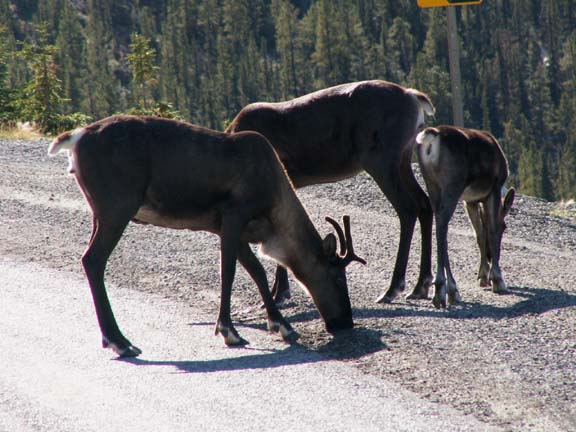 Current
theory is that these caribou and other animals are licking for the calcium and
magnesium off the rock alongside the road.
Current
theory is that these caribou and other animals are licking for the calcium and
magnesium off the rock alongside the road.
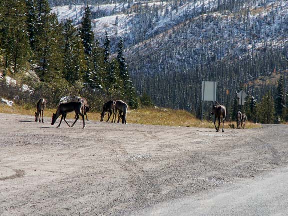
It must be good stuff. This herd
was busy 'feeding" on rocks.
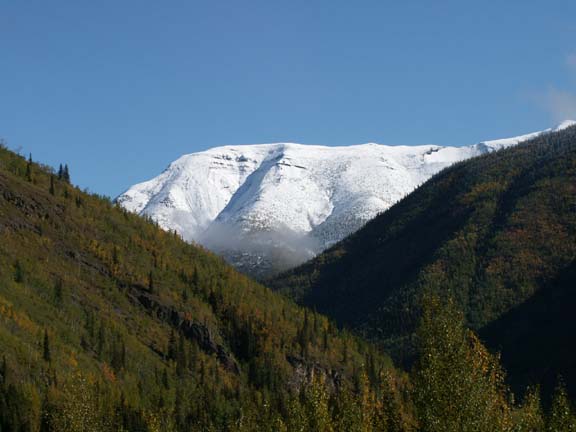
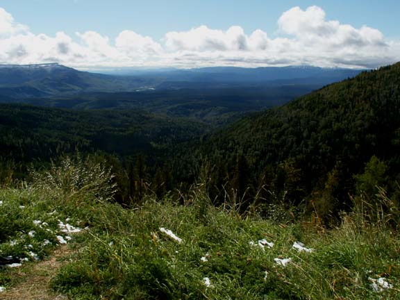
Summit Lake Provincial Park provided a spectacular view of Mount St. George reflecting in Summit Lake.
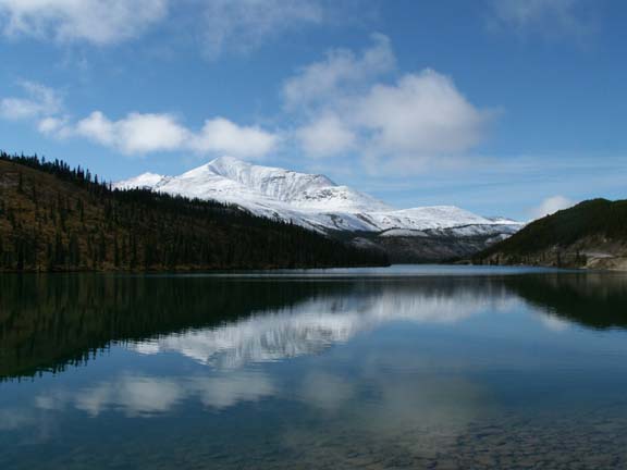
 It
is the end of the season so the park had no campers. We stayed a while to enjoy
the view.
It
is the end of the season so the park had no campers. We stayed a while to enjoy
the view.
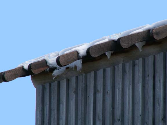 One
of the little buildings in the park made us glad we were driving through after
the snow fell.
One
of the little buildings in the park made us glad we were driving through after
the snow fell.
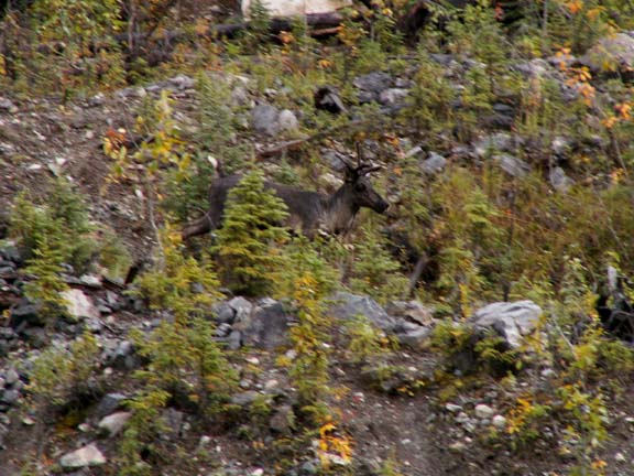
This caribou caught us by surprise and
Mary Lou almost missed the photograph.
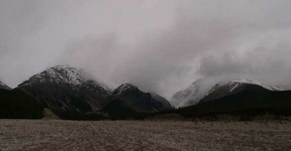
A ways down the road, we could still see the Stone Mountain Range as a thin line just below the clouds. If you didn't know they were there, you would miss them.
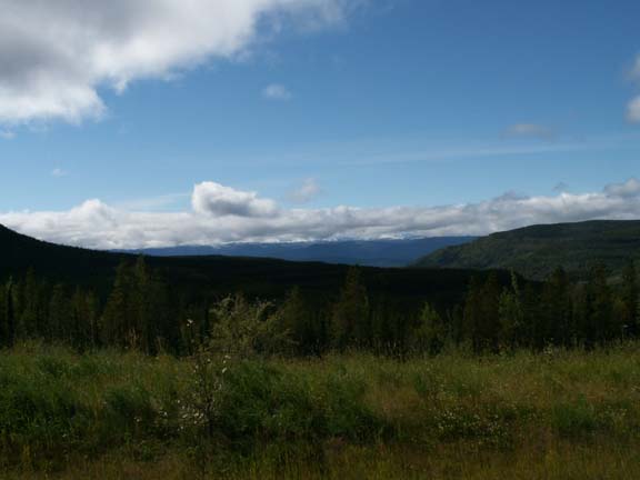
 Our
last sighting of the stone Mountain Range was across a tremendous valley.
Our
last sighting of the stone Mountain Range was across a tremendous valley.
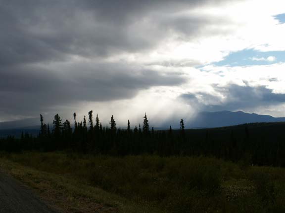
We drove later than usual, the clouds returned. The remainder of the drive to Fort St. John was just a ride on a tree lined road.
We thank you for your visits to our Web site during our Alaskan Adventure. We hope you continue to follow us as we drive home.
Our route leaves the Alaska Highway
in
Alaska 2005 - Our Journey Home . . . Page 1 Alaska 2005 - Our Journey Home . . . Page 2
Our trip home took us through the Canadian Rocky Mountains, to Wyoming for our HitchHiker International Rally and to Indiana to visit Fred and Becky and the grandchildren.
Fred and Mary Lou
Go back to Alaska Photo Album .