Tok to Haines - Alaska 2005
Updated: 11/30/08
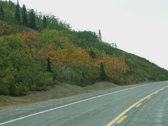
We thought we had been misled. The Alaska Highway was not as bad as reported leaving Tok southbound. It appeared that the road crew had repaired the highway since the RVers we talked to drove on it.
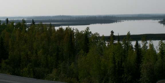
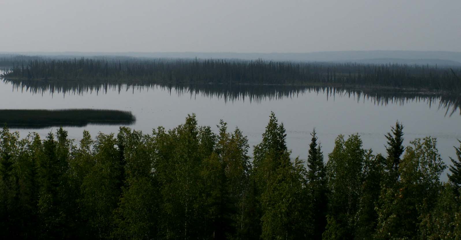
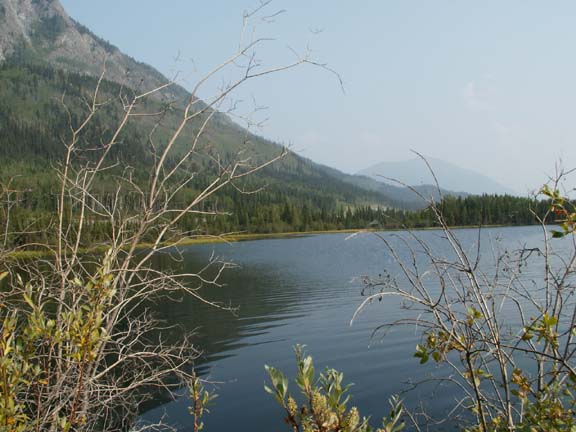
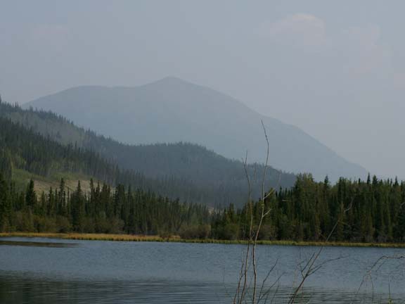
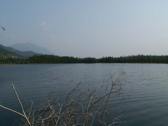
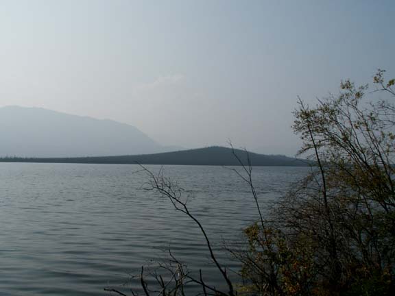
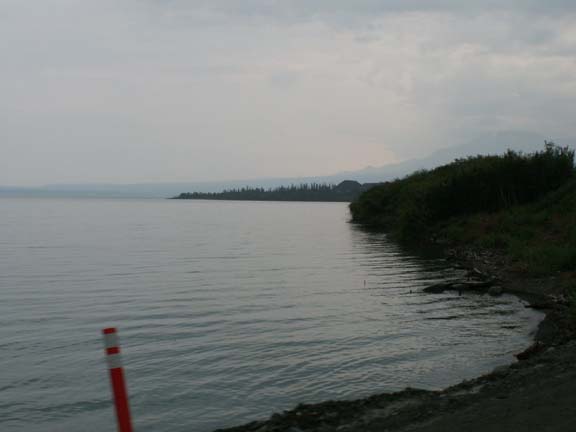
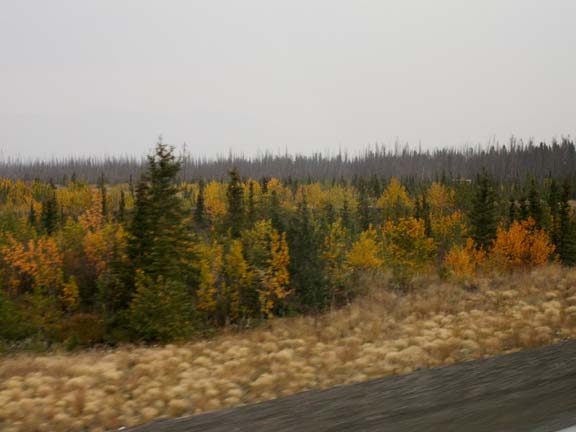
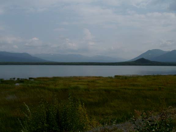
Our first photographs for the day were of Midway Lake.
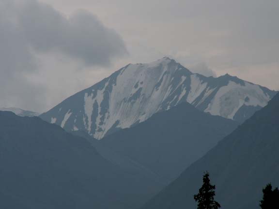
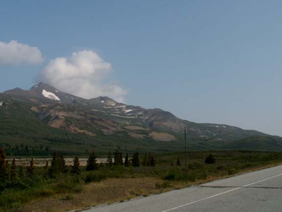
A rocky peak . . . 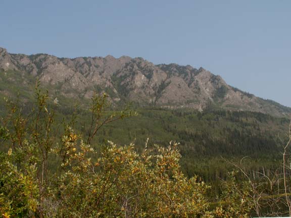
Colored rock . . . 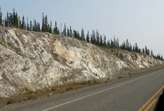
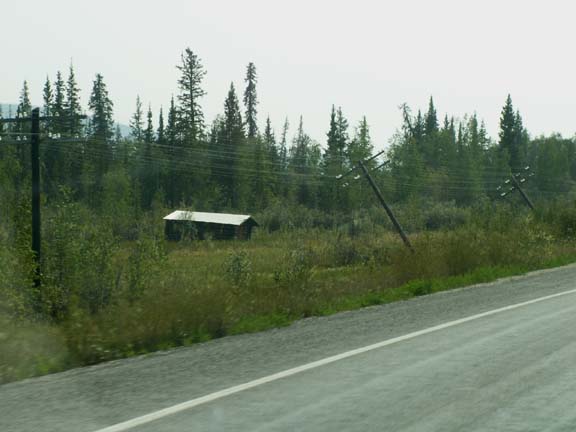 Due
to the permafrost, it appears utility poles can not be planted very deep. As a
matter of fact, not deep enough for them to stand up.
Due
to the permafrost, it appears utility poles can not be planted very deep. As a
matter of fact, not deep enough for them to stand up.
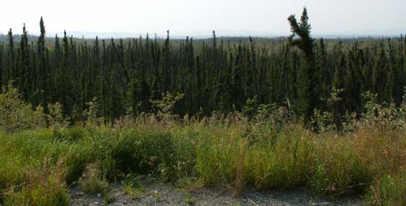
The permafrost restricts the tree growth in this area as well.
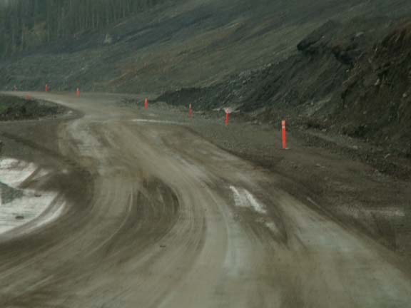
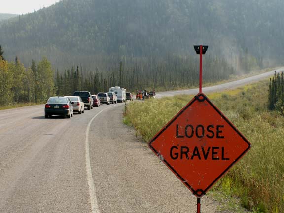 Then, we caught up with the road crew. After passing through the
work area, the road was bad. And it didn't get better. After crossing the border
in Canada, it was worse. We averaged 30 mph for the day - 192 miles.
Then, we caught up with the road crew. After passing through the
work area, the road was bad. And it didn't get better. After crossing the border
in Canada, it was worse. We averaged 30 mph for the day - 192 miles.
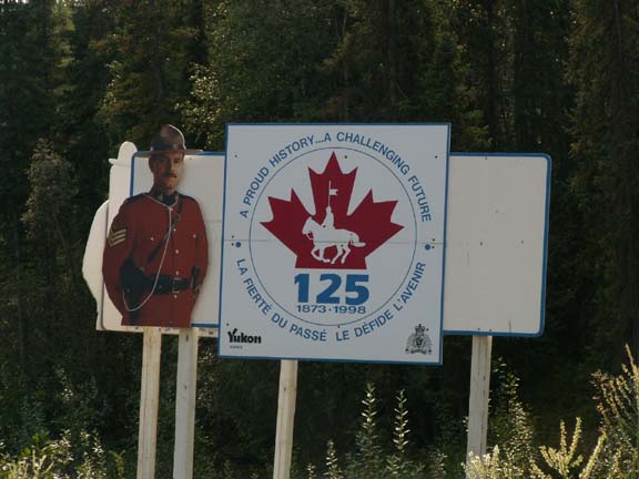 We
were greeted at the Canadian border by this 'Mountie'.
We
were greeted at the Canadian border by this 'Mountie'.
The border crossing went very smoothly. We were asked some questions and released without showing any documentation.
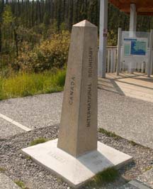
This monument shows the USA and Canadian International Border. It refers to the Treaty of 1925.

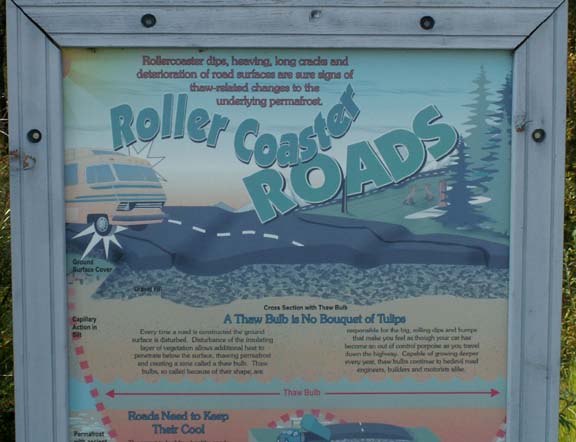 At
the border we found a different word for the 'roly-poly roads. They are
'officially' called "Roller Coaster Roads". People who had just
traveled from Haines Junction on the Alaska Highway were complaining about the
ride.
At
the border we found a different word for the 'roly-poly roads. They are
'officially' called "Roller Coaster Roads". People who had just
traveled from Haines Junction on the Alaska Highway were complaining about the
ride.
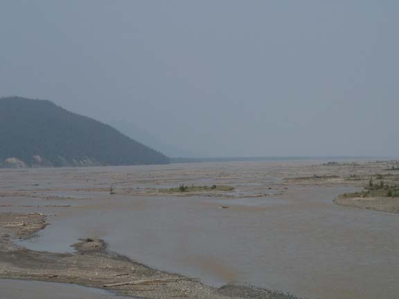
After purchasing a postcard in Beaver Creek, Yukon Territory for a friend in Beaver Creek, Colorado, we took photographs of the White River from a bridge. It was interesting because it look like two different rivers from the bridge. It is a major tributary of the Yukon River.
Northeast
side
Southwest side
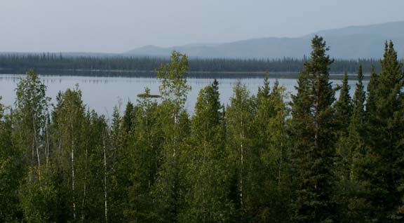
We spent some time at Pickhandle Lake. It was a beautiful and large lake - a very nice setting for sharing a Coke after traversing the rough highway. It is an 'official' rest area with a viewing platform.
 The
Domjek River is a wide river that is a major tributary of the White River.
The
Domjek River is a wide river that is a major tributary of the White River.
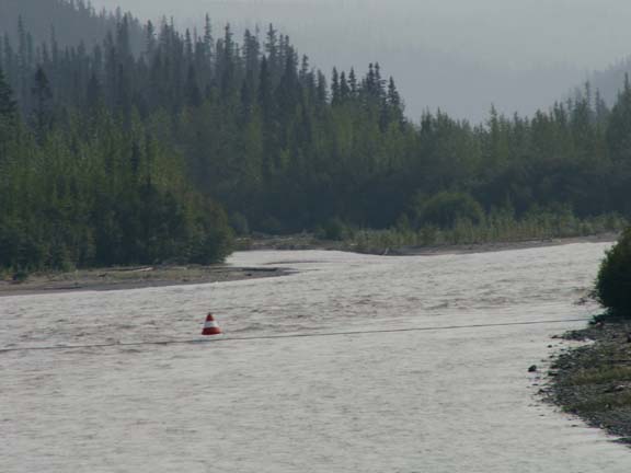
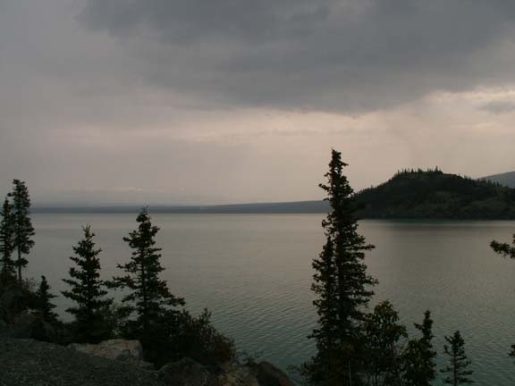
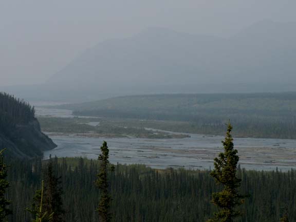 We
arrived at the Kluane River Overlook and decided to spend the night. We can see
some of the river out our rear windows. Trees block our view a little. We have
been joined by four other RVs and someone sleeping in a car.
We
arrived at the Kluane River Overlook and decided to spend the night. We can see
some of the river out our rear windows. Trees block our view a little. We have
been joined by four other RVs and someone sleeping in a car.
Standing on the viewing platform, you can hear the water in the river. To hear it this far up, it must carry a lot of water.
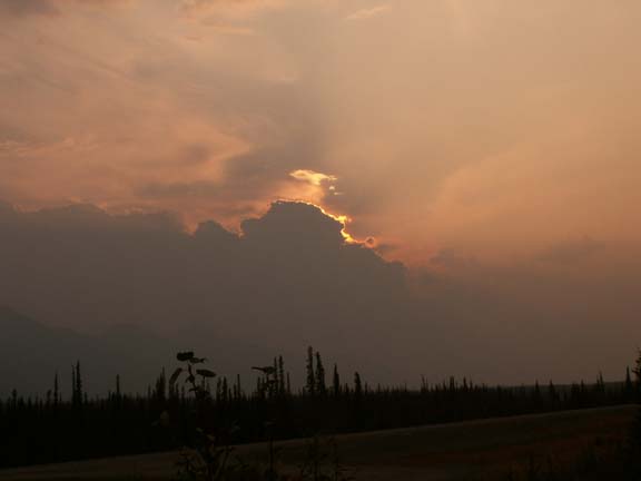
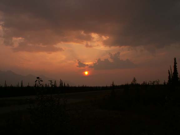
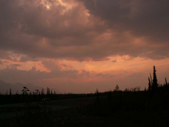
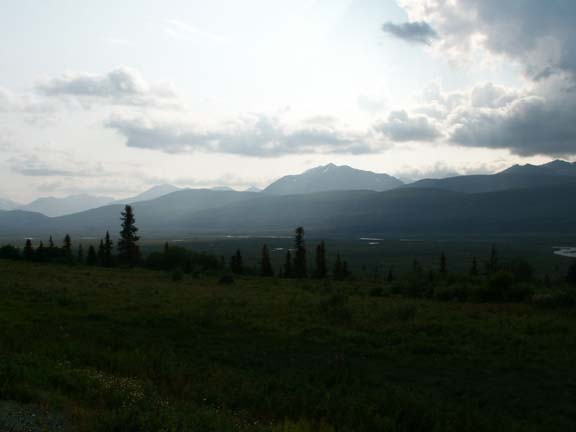
The evening sun presented hopeful thoughts for tomorrow.
 The
next morning was cloudy, smoky and it rained a little. Sometimes waiting for a
better day in Alaska takes a long time. Deciding not to wait for a better day,
we proceeded.
The
next morning was cloudy, smoky and it rained a little. Sometimes waiting for a
better day in Alaska takes a long time. Deciding not to wait for a better day,
we proceeded.
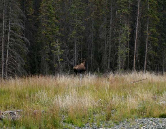 Just a half-mile down the road a moose was standing at the edge of
the trees. Before we could stop and fire up the camera, she retreated into the
trees.
Just a half-mile down the road a moose was standing at the edge of
the trees. Before we could stop and fire up the camera, she retreated into the
trees.
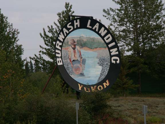
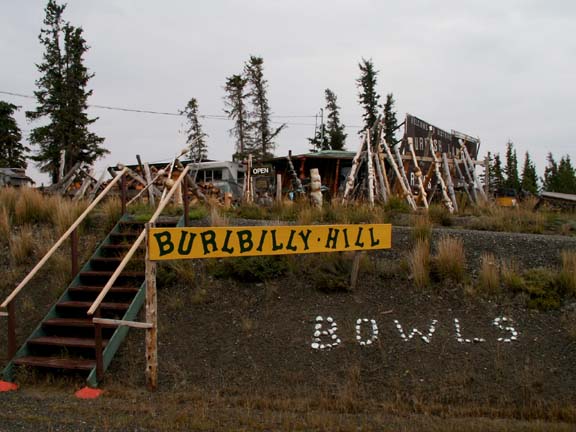 The
first planned stop was in Burwash Landing, YT. Mary Lou had read about Burlbilly
Hill and wanted to look around. It as a very interesting place even if you don't buy
anything it is worth the stop - low overhead retail.
The
first planned stop was in Burwash Landing, YT. Mary Lou had read about Burlbilly
Hill and wanted to look around. It as a very interesting place even if you don't buy
anything it is worth the stop - low overhead retail.
The world's largest gold pan was next to the museum just down the road.
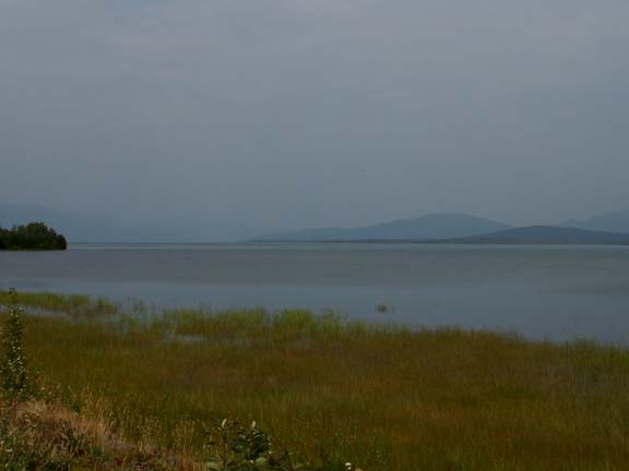
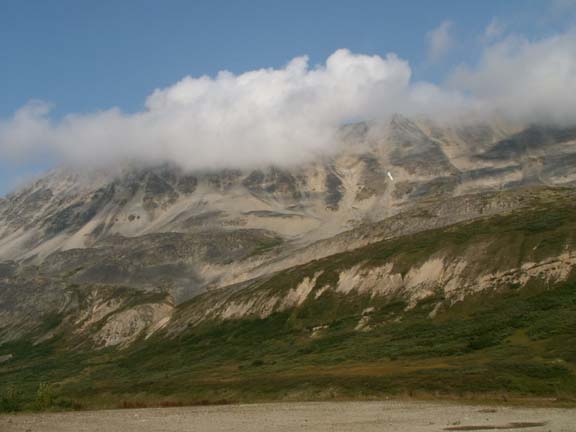
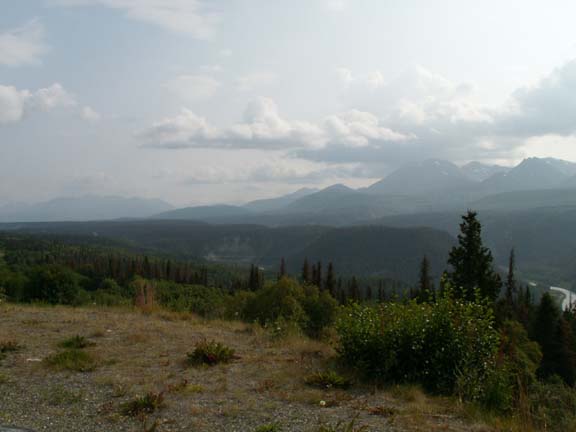
Kluane Lake was a very pretty lake. We had to imagine how beautiful this area would be without the smoke and clouds.
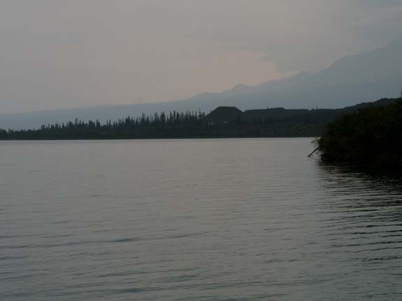
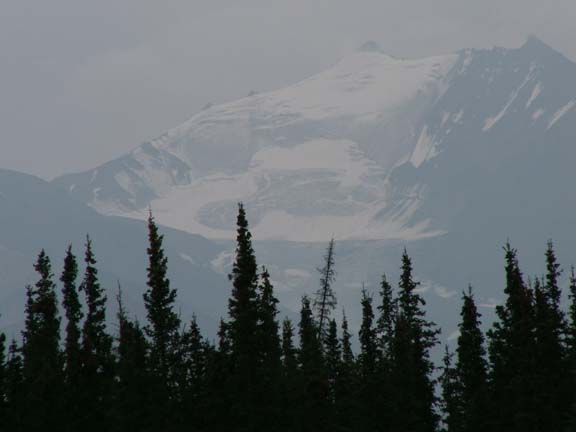
It is times like this when Mary Lou did not appreciate Fred asking, "what's the name of that glacier" ? There are over 100,000 glaciers in Alaska. Most maps don't show the names of glaciers. And, many glaciers are unnamed.
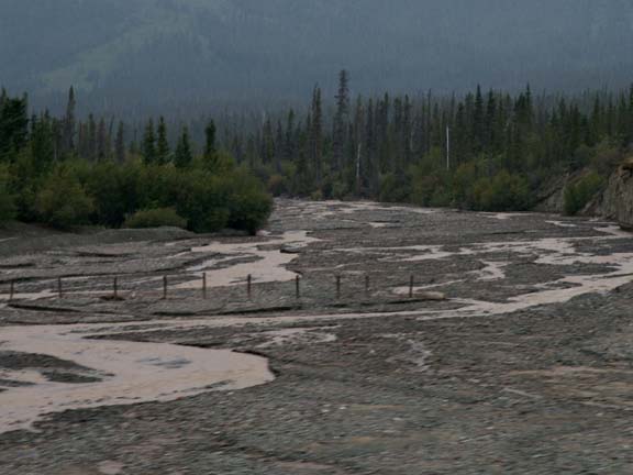 During
the spring of the year a great amount of water flows in many of the braided
rivers. The rushing water would takeout the road running perpendicular to the
river. To slow the water, they install a wall/fence on these posts.
During
the spring of the year a great amount of water flows in many of the braided
rivers. The rushing water would takeout the road running perpendicular to the
river. To slow the water, they install a wall/fence on these posts.
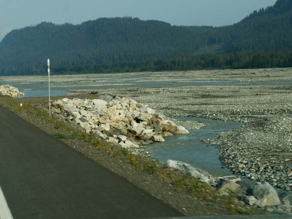 As
we approached Haines, another method of protecting the road was used for water
rushing parallel to the road. These rock points divert the water away from the
road.
As
we approached Haines, another method of protecting the road was used for water
rushing parallel to the road. These rock points divert the water away from the
road.
We drove through road construction for quite a while after Kluane Lake. All the RVs were moving real slow. Passenger cars and a foolish class 'C' motorhome were the only vehicles traveling over 15mph.
On the view to the left of the end of Kluane Lake ere still pretty.
In front and to the right, not so nice.
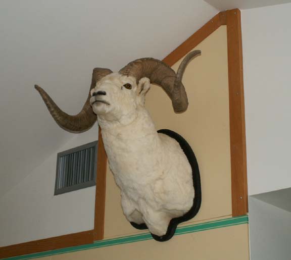 Sheep
Mountain was a nice stop after the roller coaster road and rough construction. A
nice break for the driver. When we arrived people from a tour bus were looking
at five sheep on the mountain in spotting scopes. We saw nothing except this
mounted head.
Sheep
Mountain was a nice stop after the roller coaster road and rough construction. A
nice break for the driver. When we arrived people from a tour bus were looking
at five sheep on the mountain in spotting scopes. We saw nothing except this
mounted head.
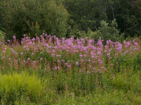
Flowers and bushes added some color to a cloudy day.
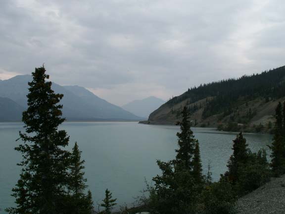
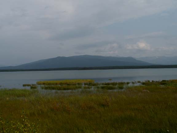
Dezadeash Lake was another beautiful lake. Again, with mountain peaks in the distance.
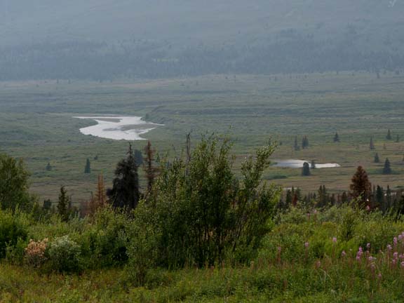
The Klukshu wetlands . . .
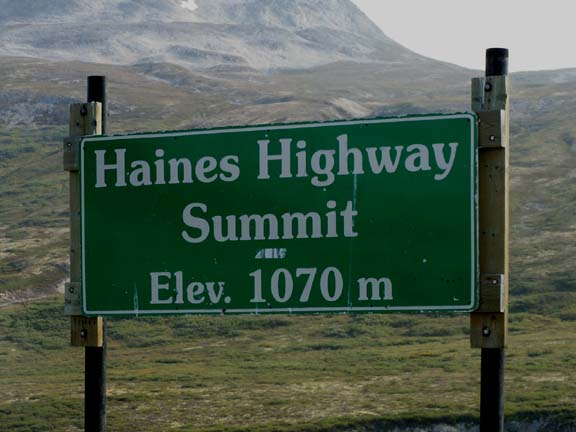 The
sights continued to get better and the sky was clearing a little. Stopping at
the summit of the Haines Highway, we were surrounded by mountain peaks.
The
sights continued to get better and the sky was clearing a little. Stopping at
the summit of the Haines Highway, we were surrounded by mountain peaks.
That converts to 3,531 feet. A short distance from here, a sign said "Check Brakes - 18.8 KM (11.7 miles) Descent".
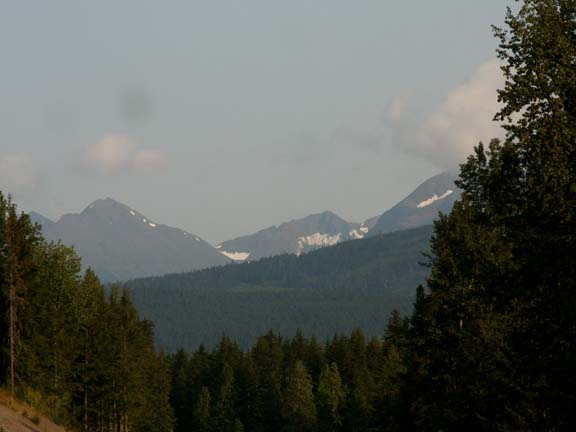
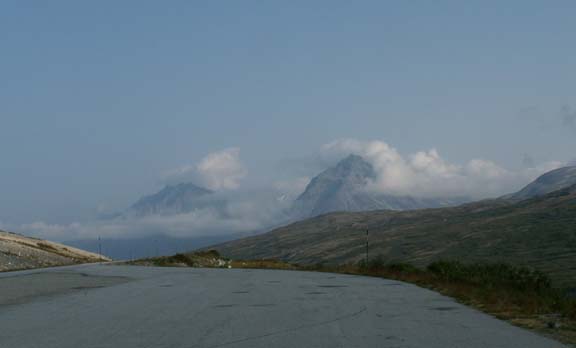 From
the summit we could see we were approaching a tremendous series of peaks - the
Glave Peak of the Three Guardsmen Mountain.
From
the summit we could see we were approaching a tremendous series of peaks - the
Glave Peak of the Three Guardsmen Mountain. 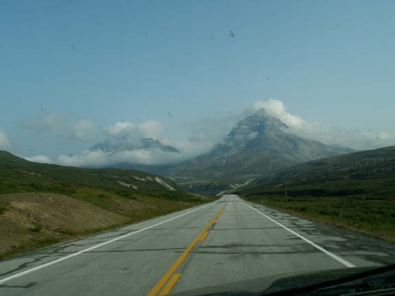
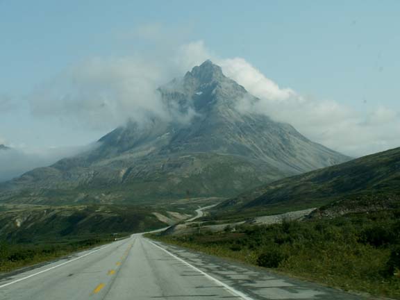 From
the side it lost its pointed peak in the clouds but remained huge.
From
the side it lost its pointed peak in the clouds but remained huge.
From a pull-off beside Glave Peak, you stood in amazement of what you could see. We and two other couple stood and repeatedly said "what a view".
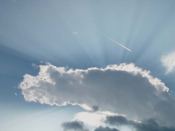
Jet stream . . .
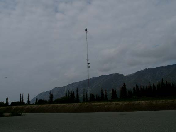 Mixed
in with all this beauty was how Alaskans keep in contact with the rest of the
world. A high antenna is not required when ground level is starting at this
elevation. Alaska has many tel-com projects. We have seen two major fiber-optic
cables being buried between towns - one, a five year project due to distance.
Mixed
in with all this beauty was how Alaskans keep in contact with the rest of the
world. A high antenna is not required when ground level is starting at this
elevation. Alaska has many tel-com projects. We have seen two major fiber-optic
cables being buried between towns - one, a five year project due to distance.
 We had to stop our descent to 30MPH approaching the
U.S. Customs Station. He said they were at 800 feet elevation and the
descent was almost over. A lot of the drive after crossing the border into
Alaska was tree lined and not much of a view. We did catch a glimpse of a
mountain.
We had to stop our descent to 30MPH approaching the
U.S. Customs Station. He said they were at 800 feet elevation and the
descent was almost over. A lot of the drive after crossing the border into
Alaska was tree lined and not much of a view. We did catch a glimpse of a
mountain.
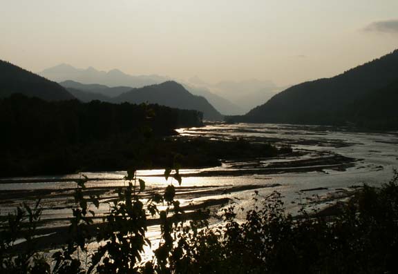 Some
of the ride was along a braided river. We stopped for the night about five miles
from Haines at a spot about
15 feet from the river. Across the road was a 'loud' babbling waterfall buried
in the trees and underbrush. Only a couple feet of it was visible. We had
the sounds of nature on both sides of our spot.
Some
of the ride was along a braided river. We stopped for the night about five miles
from Haines at a spot about
15 feet from the river. Across the road was a 'loud' babbling waterfall buried
in the trees and underbrush. Only a couple feet of it was visible. We had
the sounds of nature on both sides of our spot.
This marble bear was at a rest stop or welcome area. 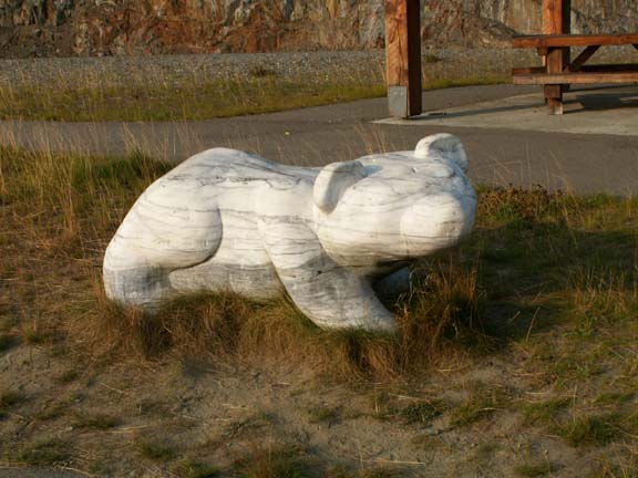
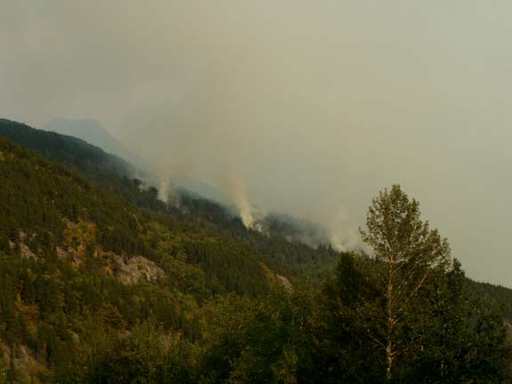
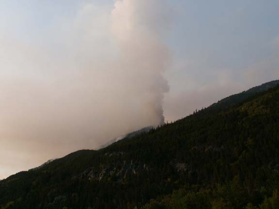
As we approached Haines, a forest fire greeted us. not as bad as we had seen in other locations but still unfortunate.
Go back to Alaska Photo Album .