 Leaving Valdez on such a clear day was not easy. We enjoyed our stay and will
miss being at sea level surrounded by mountains. The road out of town looked
like it ended at a mountain.
Leaving Valdez on such a clear day was not easy. We enjoyed our stay and will
miss being at sea level surrounded by mountains. The road out of town looked
like it ended at a mountain.Valdez to Tok - Alaska 2005
Updated: 11/30/08
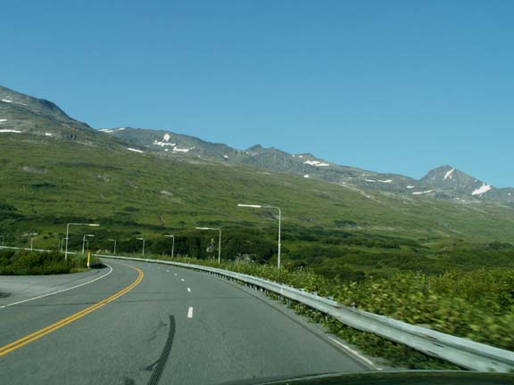
Leaving Valdez on such a clear day was not easy. We enjoyed our stay and will
miss being at sea level surrounded by mountains. The road out of town looked
like it ended at a mountain.
We did not stop at Bridal Veil Falls on our way out of town.

The fast camera lets us photograph on the go.
 The
'climb' out of Valdez was as expected at about 35mph. The railing on the side of the
road was on the white line. It left no margin for error. Fortunately, we left
Valdez at 5:30pm so the lack of traffic let us hug the left line all the way
out.
The
'climb' out of Valdez was as expected at about 35mph. The railing on the side of the
road was on the white line. It left no margin for error. Fortunately, we left
Valdez at 5:30pm so the lack of traffic let us hug the left line all the way
out.
The long haul from sea level to Thompson Pass ( 2,678 feet)
was over. 


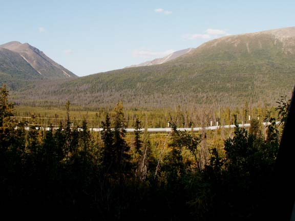
We were watching for it this time, so we saw the pipeline a couple times.
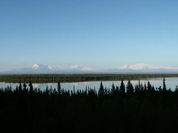
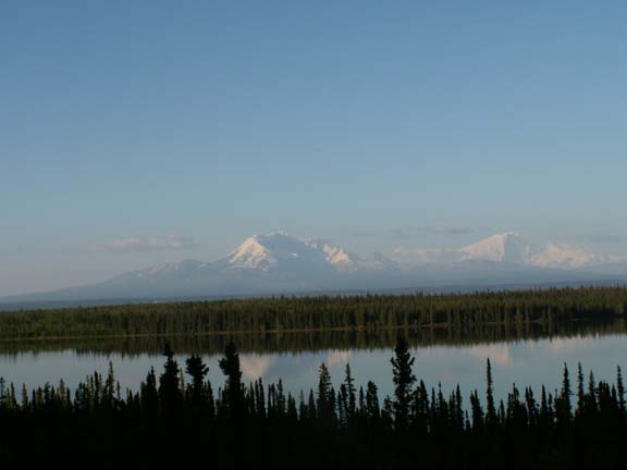
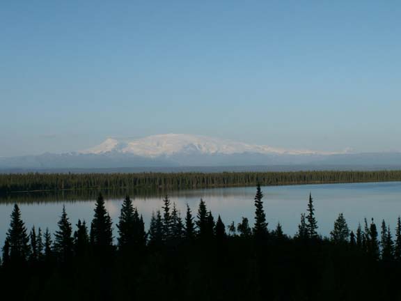
The sky seemed clearer today. We stopped for another look at the Wrangell Mountains.
We were heading for Sourdough Creek Campground (BLM) for a few days. To complete our coverage of the major highways in Alaska, we had to make a round trip to Delta Junction - we named it: Richardson Highway, a day trip.
 The
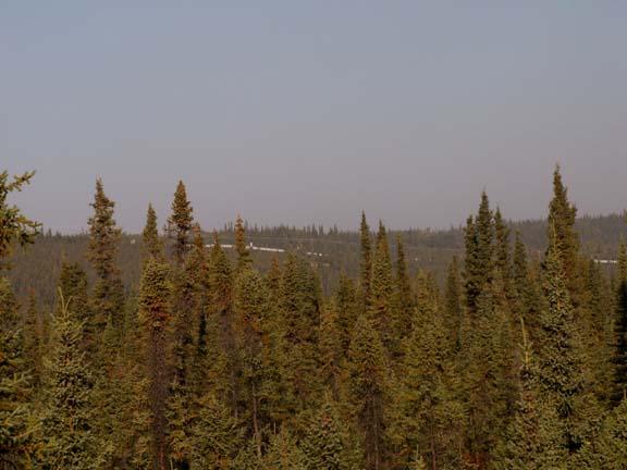
campground is on permafrost so the spruce trees grow sturdy but short.
The
campground is on permafrost so the spruce trees grow sturdy but short.
All we see is short little trees. We did not know until the next morning that we could see the pipeline from our window.
Mary Lou remarked that it is one of the quietest campgrounds we have camped. Only six of the 43 sites are occupied. Traffic is nil.
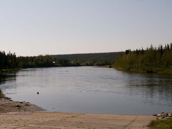 The
campground is located on a river. Every once in a while we will hear an
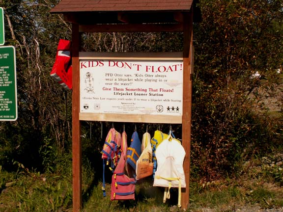
outboard. Mary Lou has read that the greatest cause of death of children in
Alaska is drowning. The state has taken action to reduce it with a safety
program which includes putting life jackets at boat landings for people to borrow
if needed.
The
campground is located on a river. Every once in a while we will hear an
outboard. Mary Lou has read that the greatest cause of death of children in
Alaska is drowning. The state has taken action to reduce it with a safety
program which includes putting life jackets at boat landings for people to borrow
if needed.
 We
checked with the camp host the morning of our planned departure for Tok regarding weather and
smoke conditions.
She said it should be about what we were experiencing in camp, so we hitched up and left for
Tok.
We
checked with the camp host the morning of our planned departure for Tok regarding weather and
smoke conditions.
She said it should be about what we were experiencing in camp, so we hitched up and left for
Tok.
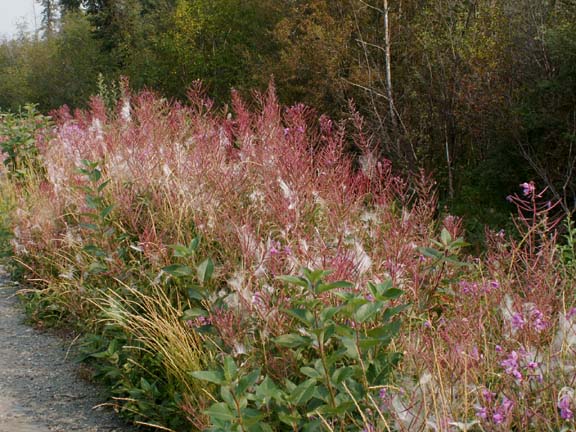
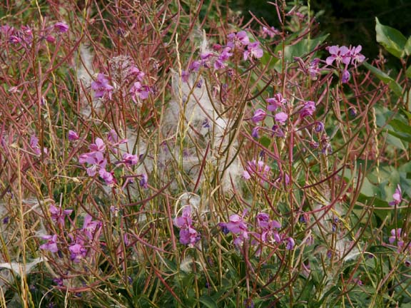
Mary Lou made a photograph of the fireweed gone to seed in our campsite before we left.
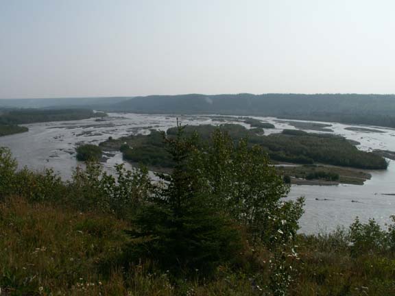
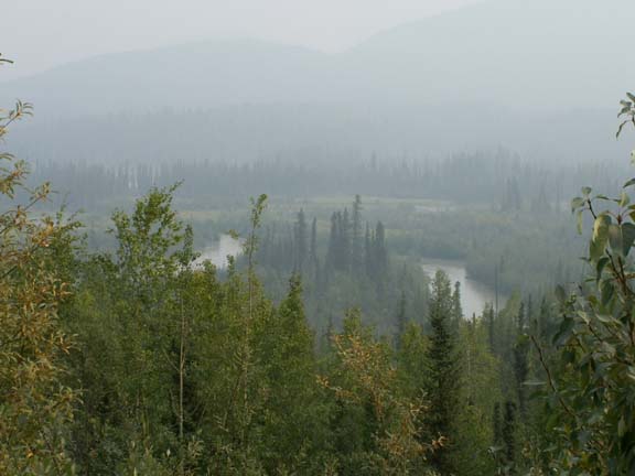
Just after turning on Route 1, the Tok Cutoff of the Glenn Highway, an overlook gave us this view. We did not know it was the last thing we would see without a smoky haze.
 Not
far down the road, the smoke was very evident.
Not
far down the road, the smoke was very evident.
What you could see had to be close to you.

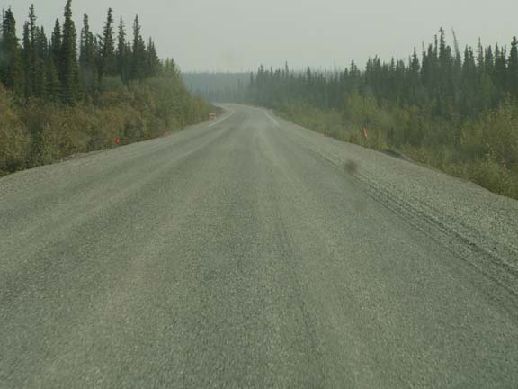
If it was very far away, it looked something like this. A major part of the road wound through trees and green valley with streams and rivers. Occasionally, a lake was visible.
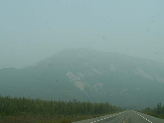
The major mountains that were noted as especially scenic were the Wrangell Mountains. Because we had seen them on two previous occasions, we do not feel we missed a whole lot.
This is an opportunity to tell you about another friend you have when driving Alaska roads. We already explained how the orange flags indicating bad spots in the road were friends. The white lines along the right side of the road are also your friends. If they look like an inebriated person painted them, slow down - the road is very uneven. If you hit them going fast, the stuffed animals will fly off the shelves or worse.
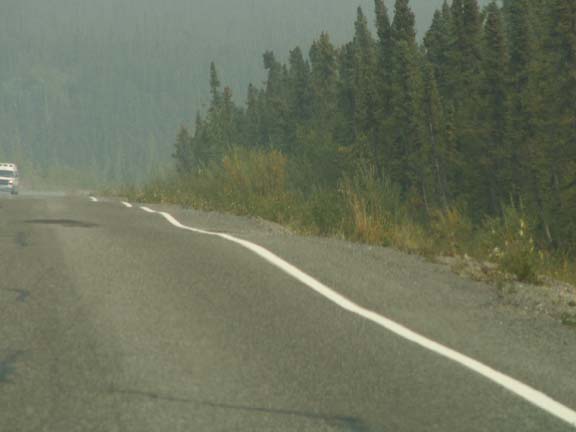
This hint was passed to us by a fellow Good Sam member
who lives in Alaska. Thanks, Chris.
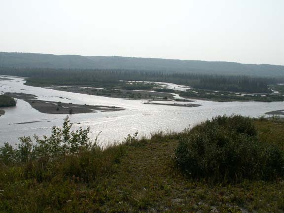
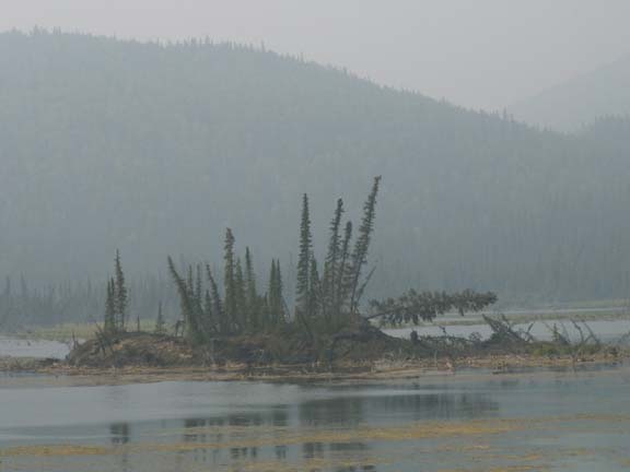
We pulled off to the side of the road to look at a lake with several islands. While this island may not be pretty in the fog, Mary Lou spotted an eagle in the top of one of the trees. Talk about 'eagle eyes' !

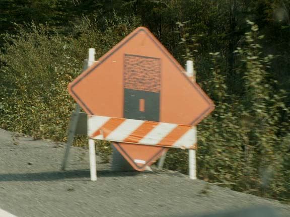
We were told to expected a slow ride to Tok due to road conditions. There was a lot of loose gravel sections indicated by these signs. A nice section of new asphalt was a welcomed surprise - and, no workers on Sunday.

At two locations, bridge construction made us almost ford dry river beds - they called it a temporary road.
We arrived in Tok, purchased fuel and food, uploaded the Web site and telephoned family. We spent the night at an overlook with two other RVers.
Go back to Alaska Photo Album .