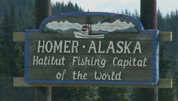
Homer - Alaska 2005
Updated: 11/30/08
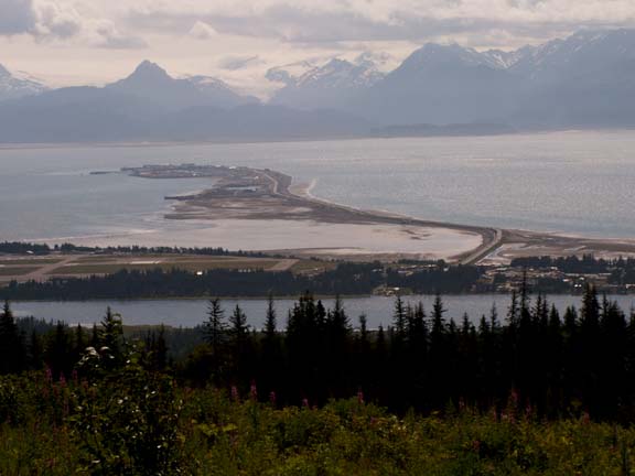 This
is a view of the Homer Spit from the mountains overlooking town. It is a strip
of land 4.5 miles long. There are city run and commercial campgrounds, stores
and restaurants. This is where the fishing charters are scheduled as well. In
addition, the marina and ocean terminal are on the Homer Spit.
This
is a view of the Homer Spit from the mountains overlooking town. It is a strip
of land 4.5 miles long. There are city run and commercial campgrounds, stores
and restaurants. This is where the fishing charters are scheduled as well. In
addition, the marina and ocean terminal are on the Homer Spit.
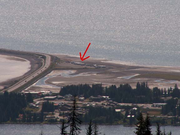 Just
in case you could not find the HHII, we zoomed in for you. The view out our rear
windows is of the bay and the mountains across Kachemak Bay.
Just
in case you could not find the HHII, we zoomed in for you. The view out our rear
windows is of the bay and the mountains across Kachemak Bay.
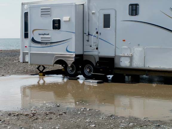 When
we arrived, it was evident one of our neighbors had picked a 'not for rainy
days' site.
When
we arrived, it was evident one of our neighbors had picked a 'not for rainy
days' site.
After the previous day's heavy rain, they had lake property.
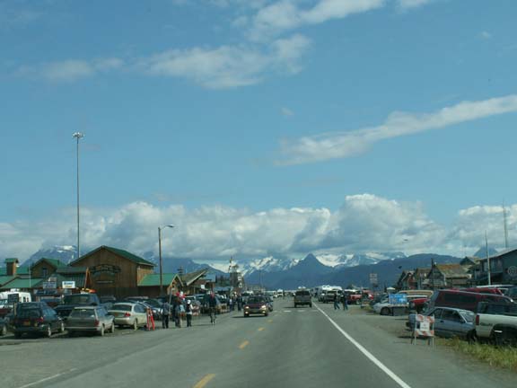
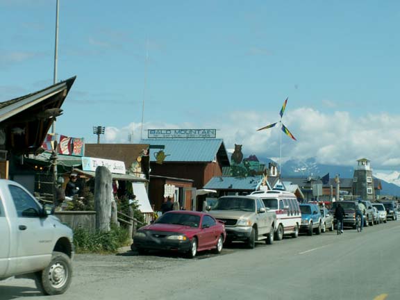
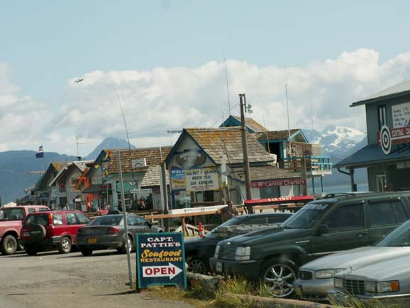
The commercial end of the Spit is congested and busy.

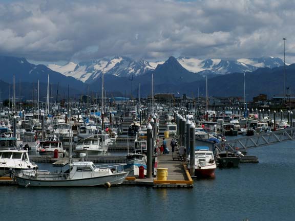
The Spit Marina
The Homer Spit is just above sea level.
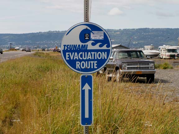
These signs and arrows are everywhere.
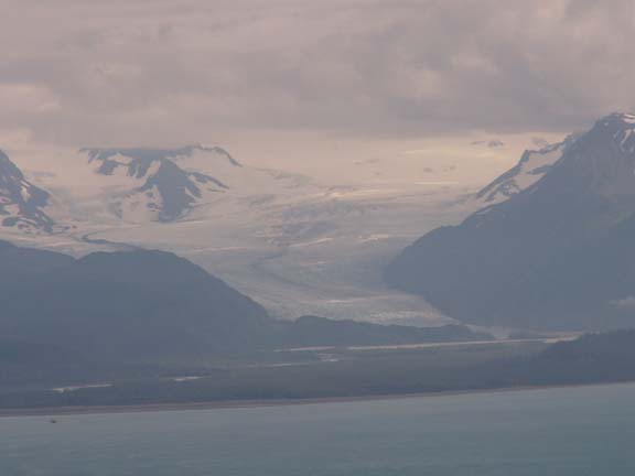
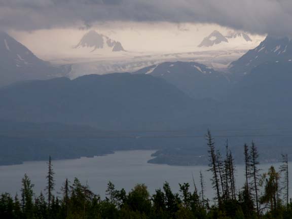
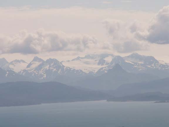
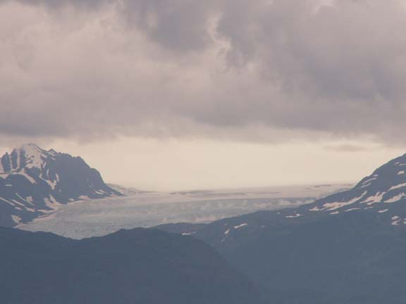
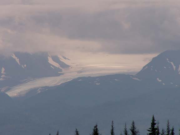
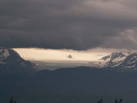
The two most visible glaciers from the Homer Spit are named the Grewingk and the Portlock
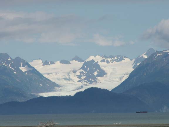
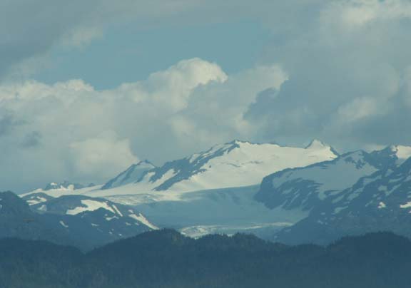
We found the third, Dixon Glacier east of Homer.
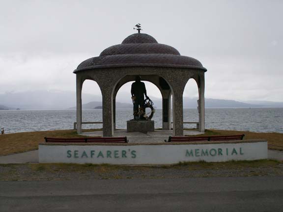 This
is the Seafarers Memorial along the shore at the end of the Homer Spit. It
contains a monument and many engraved memorial plaques and bricks to lost
seafarers.
This
is the Seafarers Memorial along the shore at the end of the Homer Spit. It
contains a monument and many engraved memorial plaques and bricks to lost
seafarers.
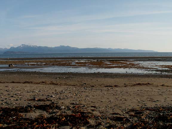
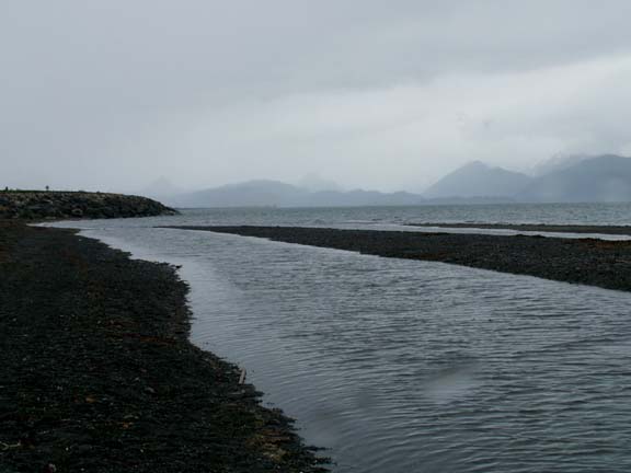
As you may remember from our New England tour, we are fascinated with tidal action. We could watch it out our back window regularly. We had a tide schedule which showed the lowest and highest of the cycle - we were sure to be home for those.
Progressing to high tide . . .


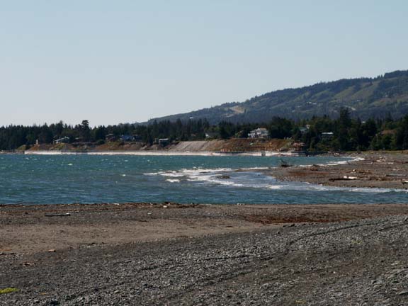
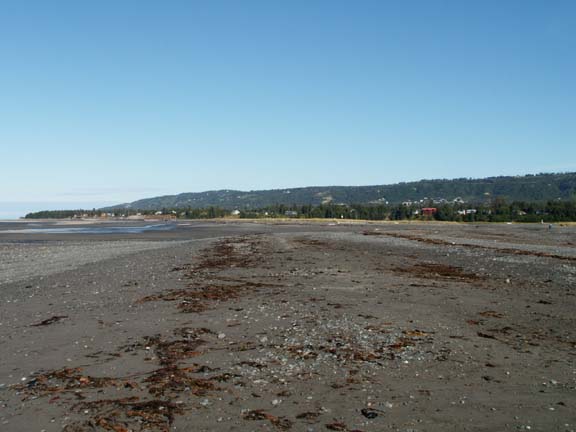
Low tide . . .
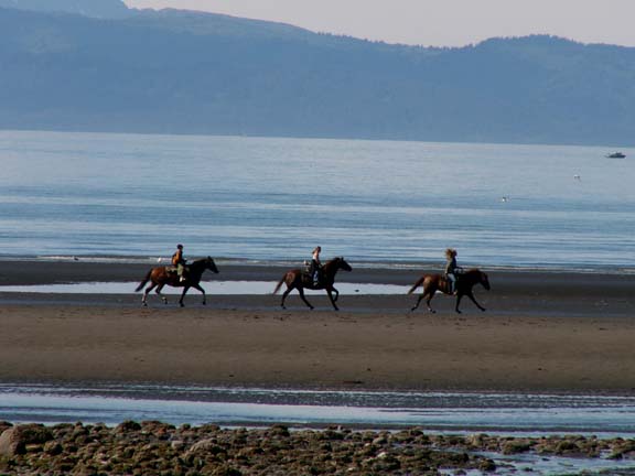
While the tide is out, the beachcombers are at work. And, we were entertained by people giving their horse a work out. The riders took turns putting their horse through different equestrian routines.
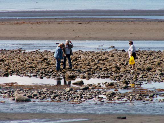
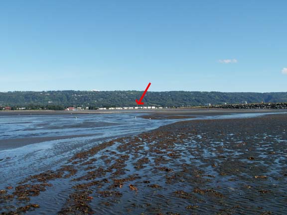
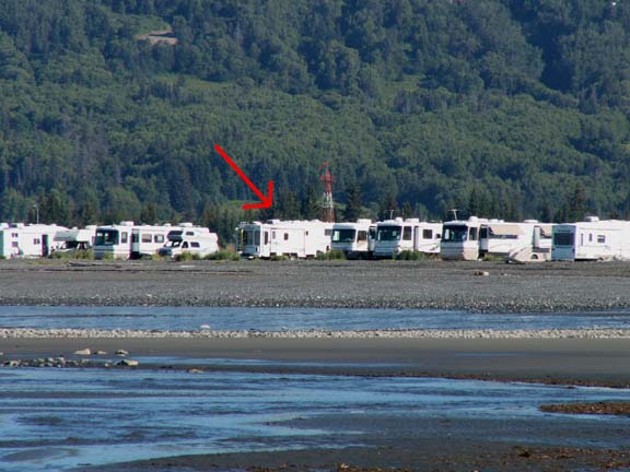
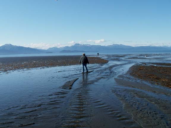 We
couldn't let the beachcomber find all the treasures. We had to check out the
area and collected our own treasures. Walk carefully, all is not dry. Of course,
Fred took the camera. The zoom and the red arrows will help you find the HHII.
We
couldn't let the beachcomber find all the treasures. We had to check out the
area and collected our own treasures. Walk carefully, all is not dry. Of course,
Fred took the camera. The zoom and the red arrows will help you find the HHII.
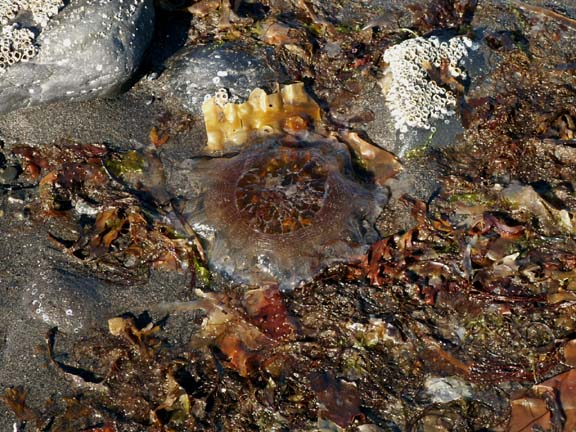
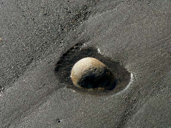
This is a Moon Jellyfish left behind by the tide. And, a rock resting in its own private little tide pool.
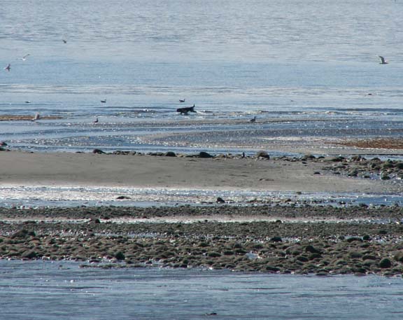 We
watched this dog making a beeline for the sand bar. Then we realized that he
must have remembered the sea gulls. He harassed the sea gulls for the longest
time - until he got tired.
We
watched this dog making a beeline for the sand bar. Then we realized that he
must have remembered the sea gulls. He harassed the sea gulls for the longest
time - until he got tired.
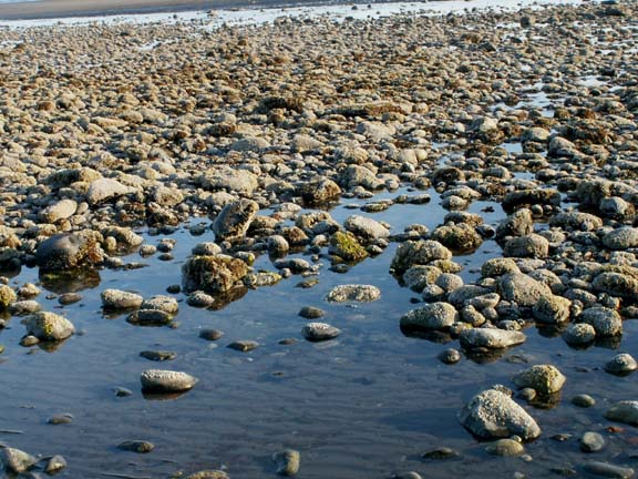
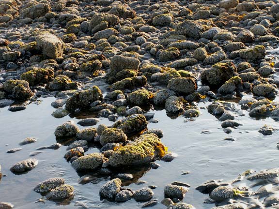
The rock beds uncovered by the receding water is covered with algae and barnacles.
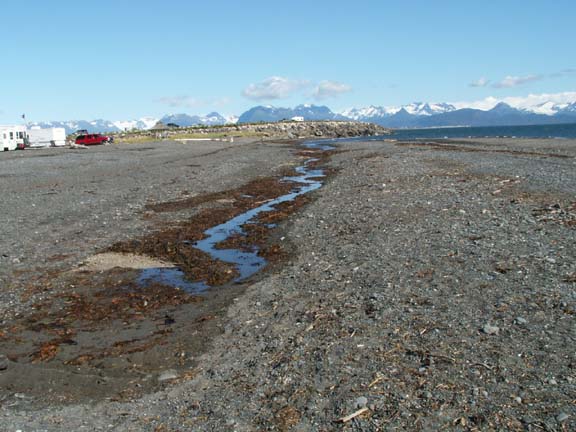
Because of the tide, when returning to the HHII, we never knew what our backyard would look like. Most of the time the gullies between us and the bay were dry even at high tide. Once there was evidence of some water but only a small stream of water remaining. Another time, both gullies were full of water.
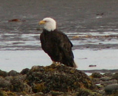
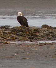
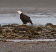
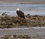
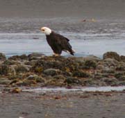
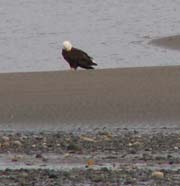
We found it interesting that we could get close enough to an
eagle
on the rocks at low tide to make the following photographs.
(We did not made thumbnails of the eagle.)
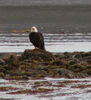
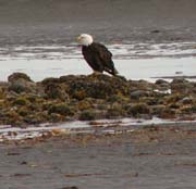
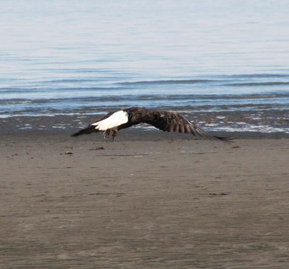
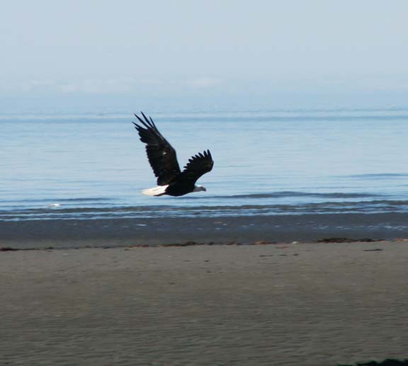
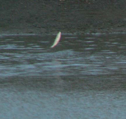
The second day when the eagle appeared, Fred got to close and . . .
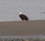
There was a second eagle on the sand the first day that other people were approaching.
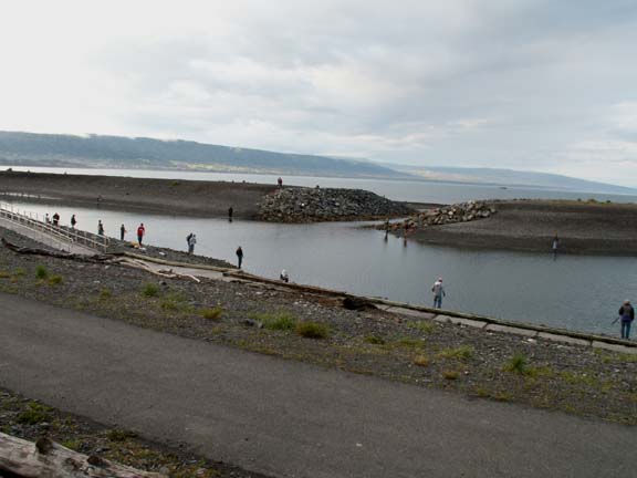
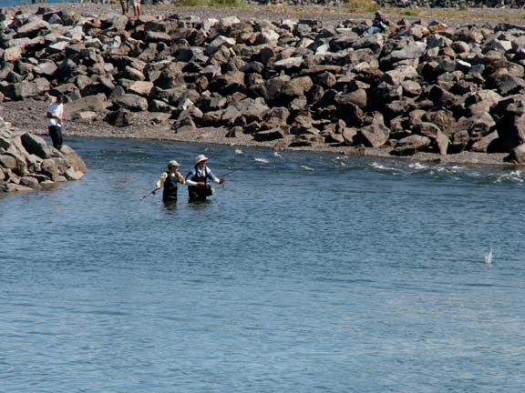
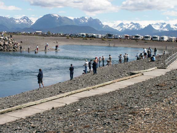
If you are totally exhausted from watching the flow of the tide, you can drive to the Spit Lagoon and watch the silver salmon jump. And, occasionally, see someone catch one. Fred tried his luck a couple times. We will report on his success later.
 Throughout
Alaska, due to the distances and extreme terrain, planes and helicopters are
used for transportation of people and materials. Here a helicopter is delivering
a box of goods to some place the other side of the mountain.
Throughout
Alaska, due to the distances and extreme terrain, planes and helicopters are
used for transportation of people and materials. Here a helicopter is delivering
a box of goods to some place the other side of the mountain.
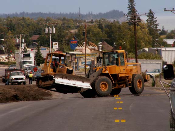 And, we saw a BIG fork life relocated a bull dozer - driver and
all. While this is not be unique to Alaskan, it was different.
And, we saw a BIG fork life relocated a bull dozer - driver and
all. While this is not be unique to Alaskan, it was different.
This is not snow. It is a heavily insulated roof. 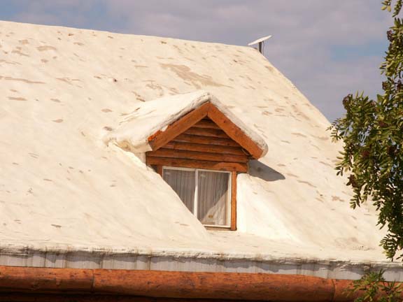
Descending from the mountain loop this image caught our eye.
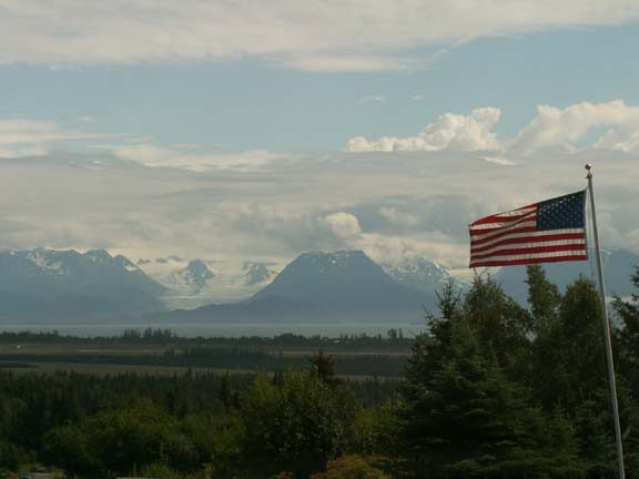
The American flag near a home was flying in front of a majestic view.
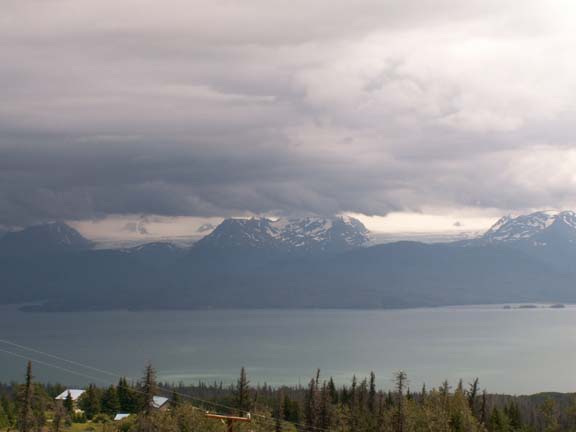
We saw interest things on the ride east of town and some different views of the glaciers.
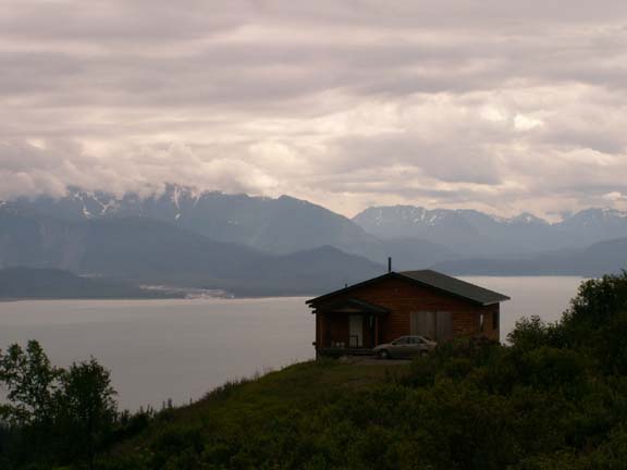 This
house had a spectacular view. There were many homes build on several tiers all
the way up the mountain.
This
house had a spectacular view. There were many homes build on several tiers all
the way up the mountain.
And some islands ... 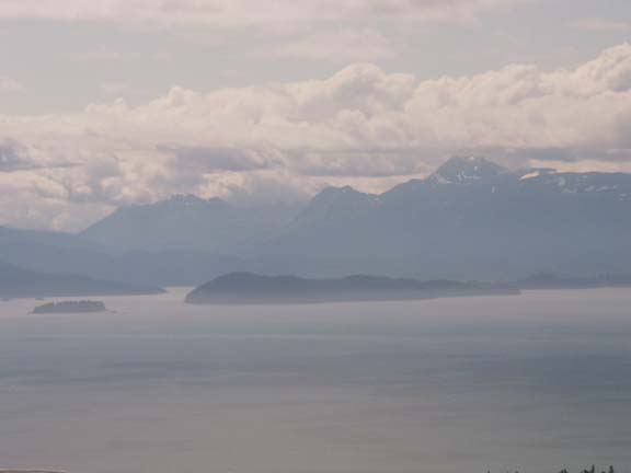
 We
followed Eagleerie Road until it ended but did not turn on to Eagleerie Wilderness
Road.
We
followed Eagleerie Road until it ended but did not turn on to Eagleerie Wilderness
Road.
At the end of this road, new homes were being built. Again, with a fantastic view.
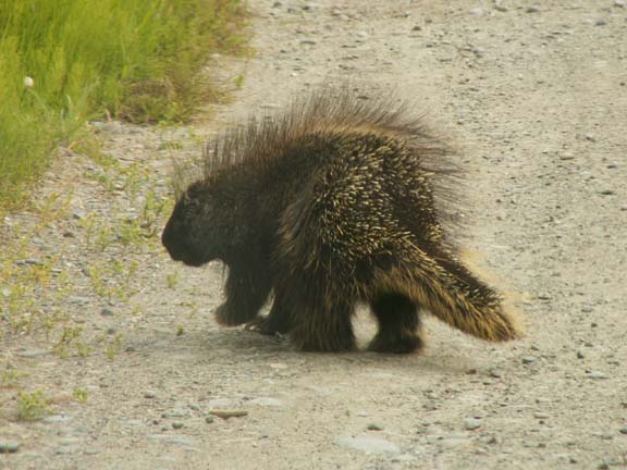 This
porcupine did not appreciate our interference.
This
porcupine did not appreciate our interference.
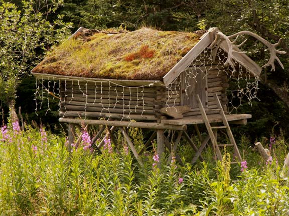 At
one house, someone had taken the time to build this cache house as an attractive
structure at the end of the driveway.
At
one house, someone had taken the time to build this cache house as an attractive
structure at the end of the driveway.
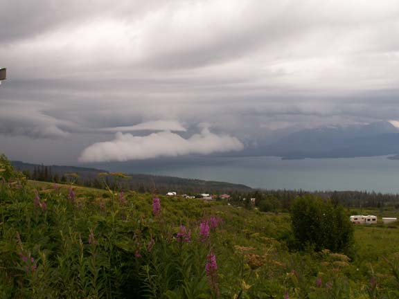
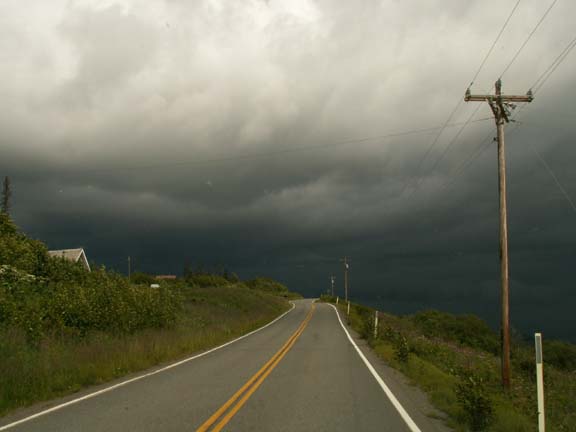
We were above some clouds and the sky looked like it was going to drop some moisture. It was time to head back to the HHII for the night.
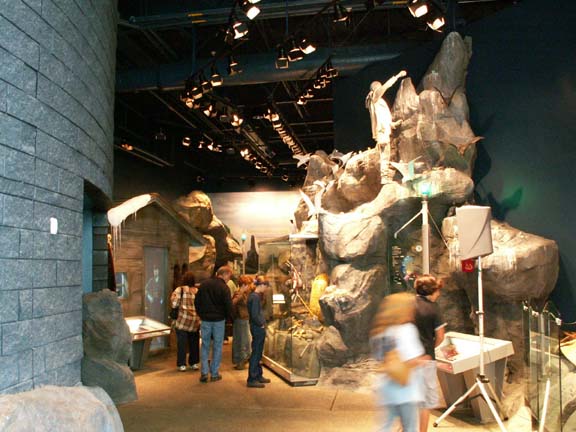
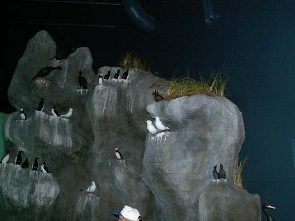
The Alaska Island and Ocean Visitor Center was well done. They had several exhibits, videos and seminars with a wide variety of studies but seemed to have a concentration on sea birds. We watched a video about the voyages of the research ship Tiglax. Homer is its home port.. Admission to the visitors center is free.
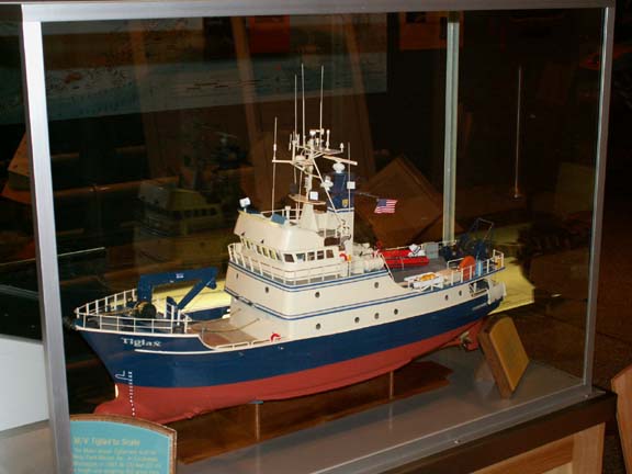 This
is a model of the 120 foot long, 250 ton Tiglax.
This
is a model of the 120 foot long, 250 ton Tiglax.
It carries 37,000 gallons of fuel because it may spend 160-200 days at sea covering as many as 15,000 nautical miles. It has a crew of six and up to 16 researchers can live on board.
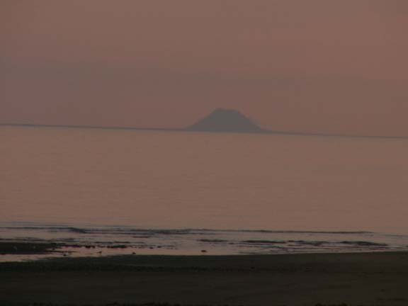
The first night we were here we enjoyed another sunset.
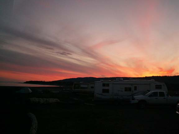
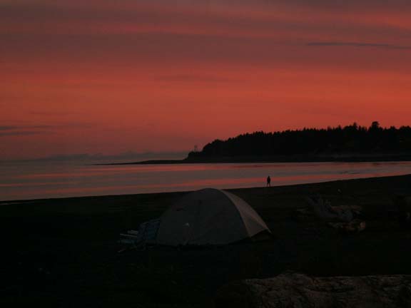
It cast a pink color on the glaciers.
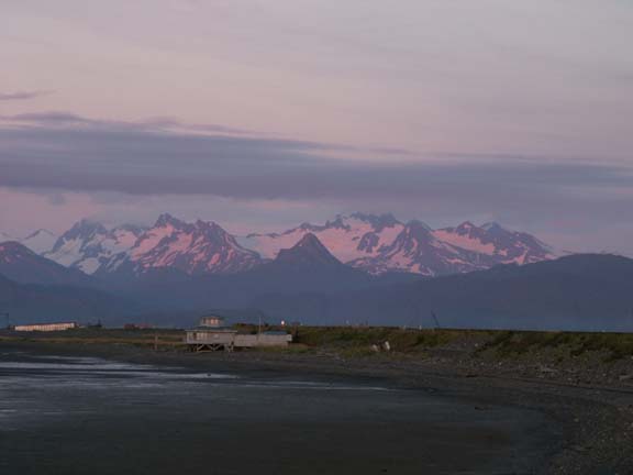
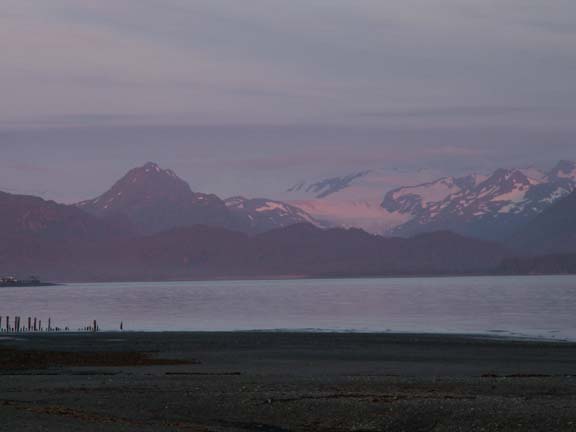
We could even see Augustine Volcano off in the distance.
 We enjoyed Homer, Alaska and the surrounding area. The views
were great and the sea food and clam chowder were delicious. Fishing in
the Spit Lagoon was fun.
We enjoyed Homer, Alaska and the surrounding area. The views
were great and the sea food and clam chowder were delicious. Fishing in
the Spit Lagoon was fun.
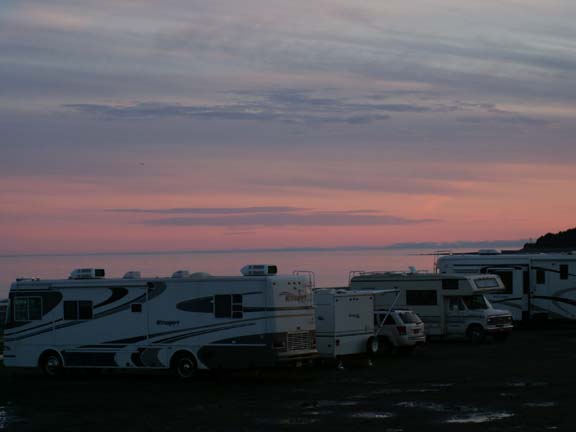
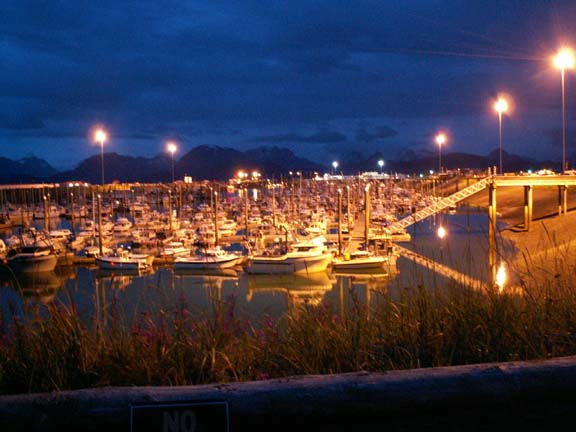
This is the Spit Marina at midnight, low tide.
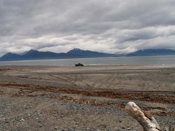
Before we left Homer, Fred wanted to drive the truck on the bay at low tide - just like we did in Maine.
Return to Kenai Peninsula, a few days
Go back to Alaska Photo Album .